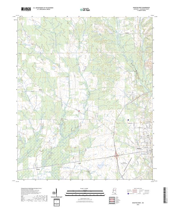
2024 Map of Houston West
USGS Topo · Published 2024About this map
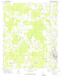
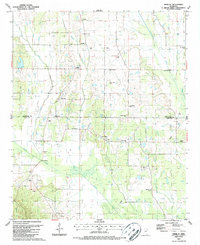
Houston serves as the primary center for this Chickasaw County region, anchored by the Chickasaw County Courthouse - Houston and a growing industrial footprint. The landscape is defined by its complex drainage network, where the headwaters of the Yalobusha River and Fourmile Creek intersect with the eastern tributaries of Houlka Creek and West Creek. This confluence of waterways created a corridor for early rural settlements that persist today as the locales of Thelma, Thorn, Hall, and Pyland.
Find a feature on this map
78 named features on this map. Tap any name to fly to it.
Don’t see what you’re looking for? This feature index may not catch every label — zoom into the map to look around manually.
Map Details
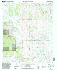
Editions of this 2024 Houston West Map
This is the sole edition of this map. No revisions or reprints were ever made.
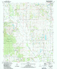
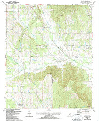
Historical Maps of Pyland Through Time
20 maps found
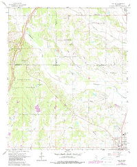
1966 Troy
Chickasaw County, MS
1966 Troy SE
Chickasaw County, MS
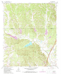
1972 Houlka
Chickasaw County, MS
1972 Houston West
Chickasaw County, MS
1987 Buena Vista
Chickasaw County, MS
1987 Houston East
Chickasaw County, MS
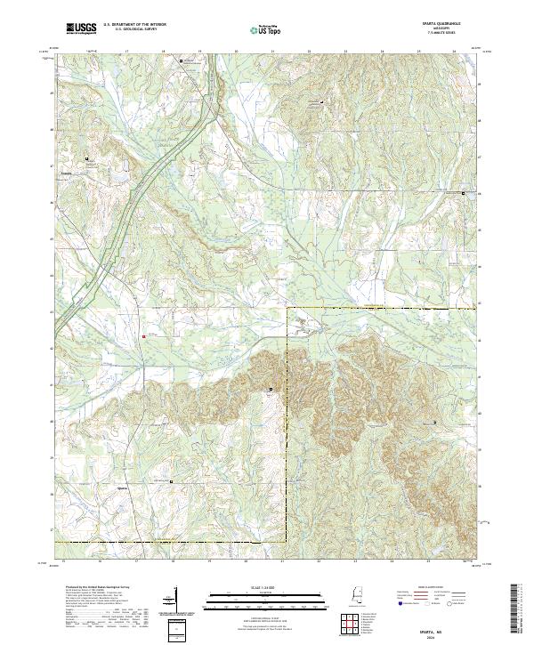
1987 Sparta
Chickasaw County, MS
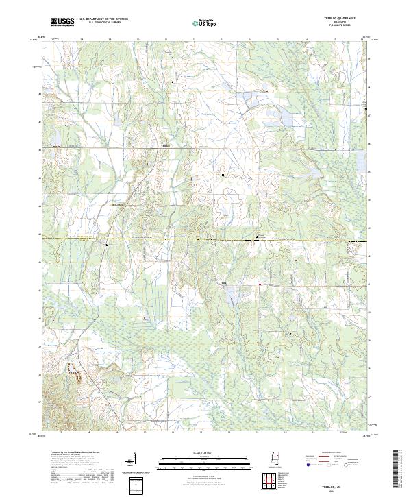
1987 Trebloc
Chickasaw County, MS
2000 Buena Vista
Chickasaw County, MS
2000 Houston East
Chickasaw County, MS
2000 Troy
Chickasaw County, MS
2000 Troy SE
Chickasaw County, MS
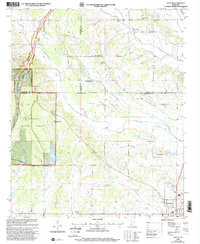
2024 Buena Vista
Chickasaw County, MS
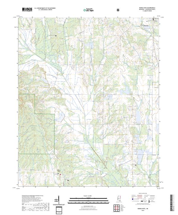
2024 Houlka
Chickasaw County, MS
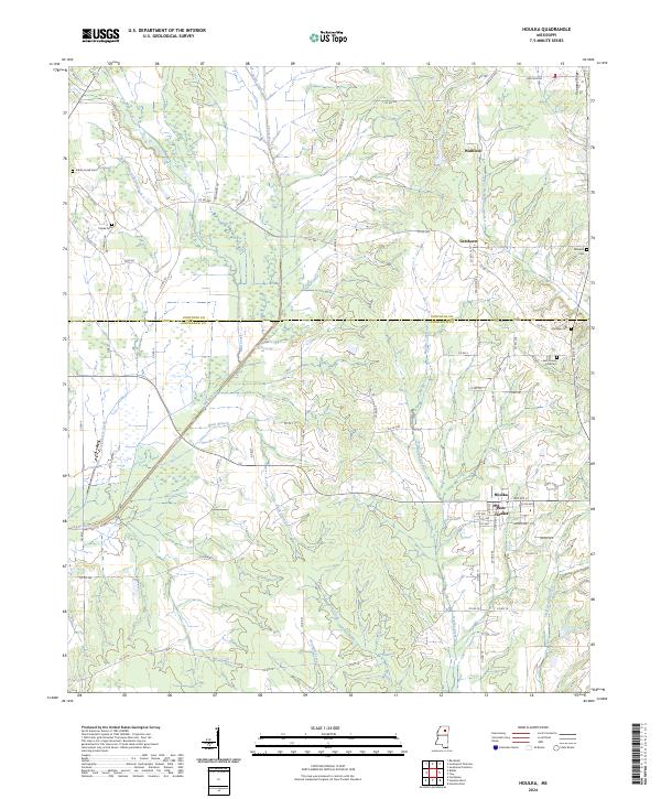
2024 Houston East
Chickasaw County, MS
2024 Houston West
Chickasaw County, MS
2024 Sparta
Chickasaw County, MS
2024 Trebloc
Chickasaw County, MS
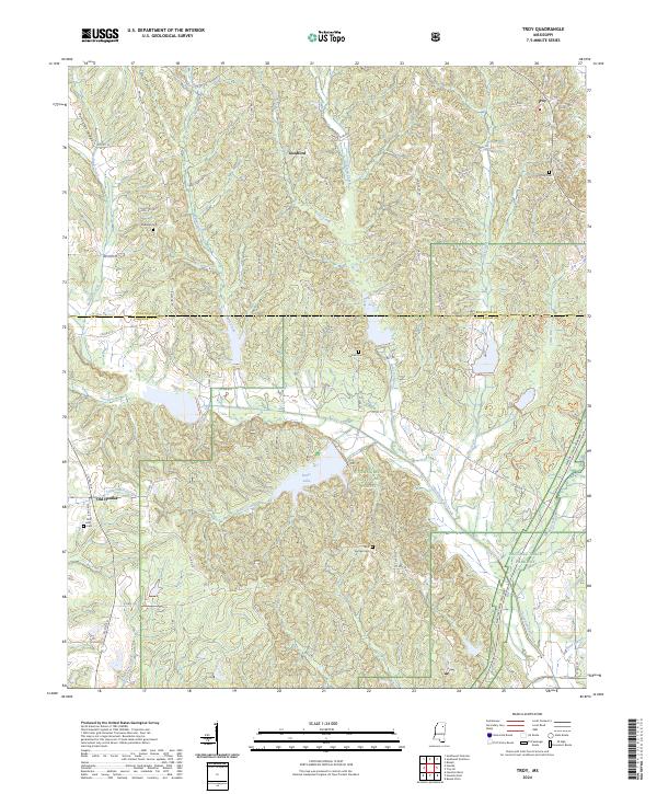
2024 Troy
Chickasaw County, MS
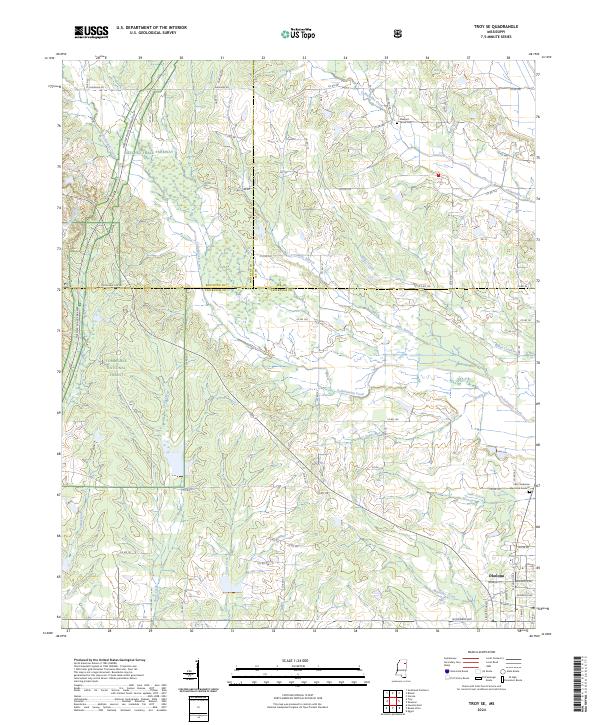
2024 Troy SE
Chickasaw County, MS