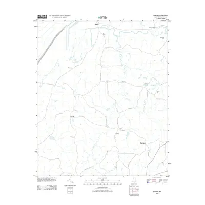
2012 Map of Howard
USGS Topo · Published 2012About this map
Howard and the surrounding rural landscape of Holmes County are defined by a network of creeks and small settlements in this 2012 study. The area is intersected by Black Cr and Harland Cr, with the prominent Hillside Levee Rd bordering the western edge of the quadrangle. Small clusters of habitation and historical memory are scattered throughout, including Tolarville, Eulogy, and Blissdale, which serve as quiet nodes in the local road network.
Find a feature on this map
49 named features on this map. Tap any name to fly to it.
Don’t see what you’re looking for? This feature index may not catch every label — zoom into the map to look around manually.
Map Details
Editions of this 2012 Howard Map
This is the sole edition of this map. No revisions or reprints were ever made.
Other maps of this area

1940 · Lexington
USGS Topo · 1:62,500

1940 · Mileston
USGS Topo · 1:62,500

1953 · Greenwood
USGS Topo · 1:250,000

1954 · Mileston
USGS Topo · 1:62,500

1955 · Jackson
USGS Topo · 1:250,000

1956 · Greenwood
USGS Topo · 1:250,000

1957 · Lexington
USGS Topo · 1:62,500

1958 · Lexington
USGS Topo · 1:62,500

1961 · Jackson
USGS Topo · 1:250,000

1961 · Valley
USGS Topo · 1:62,500