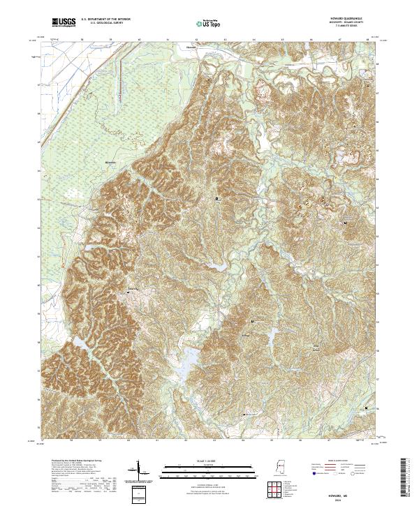
2024 Map of Howard
USGS Topo · Published 2024About this map
Hillside National Wildlife Refuge dominates the western lowlands of this Holmes County landscape, where the flat alluvial plains of the Mississippi Delta meet the rising bluff hills. The CN railroad skirts the edge of this transition, passing through the small community of Howard near the northern boundary. The terrain to the east is deeply dissected by drainage networks including Fannegusha Creek, Black Creek, and Harland Creek, creating a landscape of narrow ridges and winding hollows that shaped early settlement patterns.
Find a feature on this map
62 named features on this map. Tap any name to fly to it.
Don’t see what you’re looking for? This feature index may not catch every label — zoom into the map to look around manually.
Map Details
Editions of this 2024 Howard Map
This is the sole edition of this map. No revisions or reprints were ever made.
Other maps of this area

1940 · Lexington
USGS Topo · 1:62,500

1940 · Mileston
USGS Topo · 1:62,500

1953 · Greenwood
USGS Topo · 1:250,000

1954 · Mileston
USGS Topo · 1:62,500

1955 · Jackson
USGS Topo · 1:250,000

1956 · Greenwood
USGS Topo · 1:250,000

1957 · Lexington
USGS Topo · 1:62,500

1958 · Lexington
USGS Topo · 1:62,500

1961 · Jackson
USGS Topo · 1:250,000

1961 · Valley
USGS Topo · 1:62,500