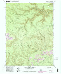
1967 Map of Howard NW
USGS Topo · Published 1986About this map
Sproul State Forest dominates this section of the Pennsylvania wilds, where the high plateau of Noyes Shoemaker Ridge is dissected by a dense network of mountain streams. In the late 1960s, this landscape was defined by the transition from natural drainage systems like Baker Run and Beech Creek to active industrial extraction. Evidence of the coal economy is visible near Eagleton Fields and along the southern edge of the sheet, where extensive Strip Mines are mapped adjacent to wetland features like Bear Swamp and the Old Tangascootack Swamp. This 1967 survey, with later revisions, shows the intricate web of forest service infrastructure including Smokehouse Trail and Eagleton Road that provided access to these high-elevation ridges. The map records a specific era of forest management and mining activity before modern reclamation efforts altered the topography of the North Fork Tangascootack Creek drainage.
Find a feature on this map
59 named features on this map. Tap any name to fly to it.
Don’t see what you’re looking for? This feature index may not catch every label — zoom into the map to look around manually.
Map Details
Editions of this 1967 Howard NW Map
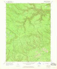
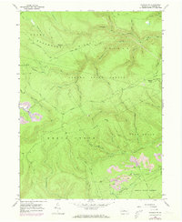
Other maps of this area

1921 · Howard
USGS Topo · 1:48,000

1923 · Howard
USGS Topo · 1:62,500

1928 · Snow Shoe
USGS Topo · 1:48,000

1931 · Show Shoe
USGS Topo · 1:62,500

1943 · Hyner
USGS Topo · 1:62,500

1946 · Renovo East
USGS Topo · 1:62,500

1946 · Renovo West
USGS Topo · 1:62,500

1946 · Renovo East
USGS Topo · 1:24,000

1946 · Renovo West
USGS Topo · 1:24,000

1946 · Glen Union
USGS Topo · 1:24,000
Featured Places
- Beech Creek Township, PA
- Bald Eagle Township, PA
- Noyes Township, PA
- Eagleton Fields, Grugan Township
- Grugan Township, PA