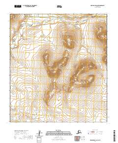
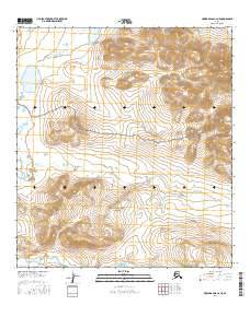
2020 Map of Howard Pass A-2 SW
USGS Topo · Published 2020About this map
Noatak National Preserve encompasses the majority of this remote Arctic landscape, where high-altitude ridges and glacial valleys dictate the flow of northern waters. The Aniuk River carves through the western reaches of the quadrangle, while Rough Mountain Creek drains the northern slopes along the boundary between the North Slope Borough and Northwest Arctic Borough. This 2020 survey illustrates a wilderness nearly untouched by permanent infrastructure, defined instead by the stark relief of unnamed peaks and complex drainage patterns characteristic of the Brooks Range foothills. The map provides precise topographic detail for those studying the hydrologic connections between these two major watercourses as they navigate the varied elevations of the preserve.
Find a feature on this map
13 named features on this map. Tap any name to fly to it.
Don’t see what you’re looking for? This feature index may not catch every label — zoom into the map to look around manually.
Map Details
Editions of this 2020 Howard Pass A-2 SW Map
This is the sole edition of this map. No revisions or reprints were ever made.
Other maps of this area

1951 · Howard Pass
USGS Topo · 1:250,000

1951 · Ambler River
USGS Topo · 1:250,000

1956 · Howard Pass
USGS Topo · 1:250,000

1956 · Ambler River
USGS Topo · 1:250,000

1964 · Ambler River
USGS Topo · 1:250,000
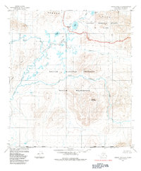
1984 · Howard Pass A-2
USGS Topo · 1:63,360

1984 · Howard Pass A-3
USGS Topo · 1:63,360
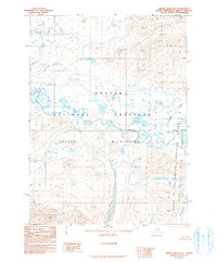
1990 · Ambler River D-2
USGS Topo · 1:63,360
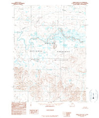
1990 · Ambler River D-3
USGS Topo · 1:63,360
2016 · Howard Pass A-2 NE
USGS Topo · 1:25,000