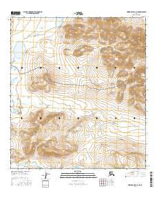
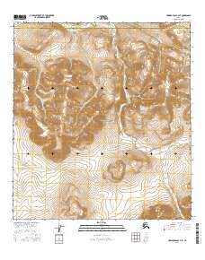
2016 Map of Howard Pass A-2 NE
USGS Topo · Published 2016About this map
The Noatak National Preserve encompasses the southern portion of this landscape, where the headwaters of several drainages begin their course through the Arctic terrain. High elevation points like Isikut Mtn and the Howard Hills define the northern horizon, framing the important geographic notch of Howard Pass. This pass serves as a natural corridor through the mountains, a critical route for movement across the North Slope. Water is a constant presence in this high-latitude environment, with the Etteluk River flowing through the northwest and the winding paths of Flora Cr and Rough Mountain Creek cutting through the valleys. Smaller bodies of water, including Akuliak Lake and Nigtun Lake, dot the tundra, reflecting the complex hydrology of this preserved wilderness during the early twenty-first century.
Find a feature on this map
13 named features on this map. Tap any name to fly to it.
Don’t see what you’re looking for? This feature index may not catch every label — zoom into the map to look around manually.
Map Details
Editions of this 2016 Howard Pass A-2 NE Map
This is the sole edition of this map. No revisions or reprints were ever made.
Other maps of this area

1951 · Howard Pass
USGS Topo · 1:250,000

1956 · Howard Pass
USGS Topo · 1:250,000
1984 · Howard Pass B-1
USGS Topo · 1:63,360
1984 · Howard Pass B-2
USGS Topo · 1:63,360
1984 · Howard Pass A-2
USGS Topo · 1:63,360
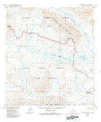
1984 · Howard Pass A-1
USGS Topo · 1:63,360
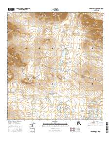
2016 · Howard Pass A-1 NW
USGS Topo · 1:25,000
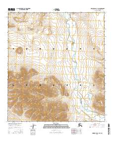
2016 · Howard Pass B-1 SW
USGS Topo · 1:25,000
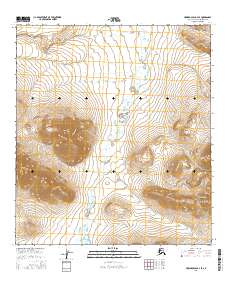
2016 · Howard Pass B-2 SE
USGS Topo · 1:25,000
2016 · Howard Pass A-2 SE
USGS Topo · 1:25,000