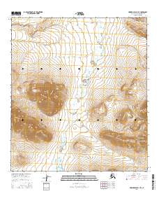
2016 Map of Howard Pass B-2 SE
USGS Topo · Published 2016About this map
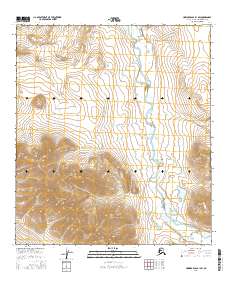
Howard Hills define the topography of this Arctic interior landscape, where the Etiuluk River winds northward through a broad valley. The drainage patterns are intricate, with Fay Cr feeding into the river system and Akuliak Lake situated at the southern reaches of the map. This 2016 survey documents the vast, undeveloped terrain of the North Slope, primarily characterized by seasonal water flow and high-latitude relief. The absence of roads or permanent structures underscores the isolation of this region, providing an important record for those studying the hydrology and landforms of the Brooks Range foothills prior to any modern environmental shifts.
Find a feature on this map
10 named features on this map. Tap any name to fly to it.
Don’t see what you’re looking for? This feature index may not catch every label — zoom into the map to look around manually.
Map Details
Editions of this 2016 Howard Pass B-2 SE Map
This is the sole edition of this map. No revisions or reprints were ever made.
Other maps of this area

1951 · Howard Pass
USGS Topo · 1:250,000

1956 · Howard Pass
USGS Topo · 1:250,000
1984 · Howard Pass B-1
USGS Topo · 1:63,360
1984 · Howard Pass B-2
USGS Topo · 1:63,360
1984 · Howard Pass A-2
USGS Topo · 1:63,360
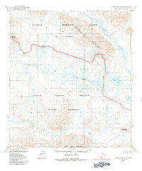
1984 · Howard Pass A-1
USGS Topo · 1:63,360
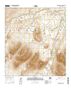
2016 · Howard Pass B-2 NE
USGS Topo · 1:25,000
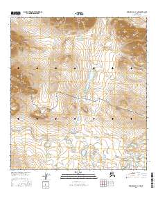
2016 · Howard Pass A-1 NW
USGS Topo · 1:25,000
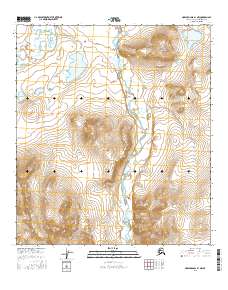
2016 · Howard Pass B-1 NW
USGS Topo · 1:25,000
2016 · Howard Pass B-1 SW
USGS Topo · 1:25,000