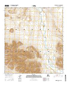
2016 Map of Howard Pass B-1 SW
USGS Topo · Published 2016About this map
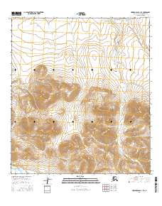
Kivliktort Mtn and the Howard Hills dominate this high-latitude terrain within Alaska’s North Slope Borough. The landscape is defined by the winding course of the Nigu River, which cuts through the northeastern and southern portions of the quadrangle. This 2016 survey highlights a remote wilderness where land divisions such as t34n r10e and t33n r11e underscore the vast scale of the American Arctic. The absence of roads or permanent settlements emphasizes the region's character as a frontier of geological and hydrological study, where the drainage patterns of the river system interact with the stark elevations of the Brooks Range foothills.
Find a feature on this map
9 named features on this map. Tap any name to fly to it.
Don’t see what you’re looking for? This feature index may not catch every label — zoom into the map to look around manually.
Map Details
Editions of this 2016 Howard Pass B-1 SW Map
This is the sole edition of this map. No revisions or reprints were ever made.
Other maps of this area

1951 · Howard Pass
USGS Topo · 1:250,000

1956 · Howard Pass
USGS Topo · 1:250,000
1984 · Howard Pass B-1
USGS Topo · 1:63,360
1984 · Howard Pass B-2
USGS Topo · 1:63,360
1984 · Howard Pass A-2
USGS Topo · 1:63,360
1984 · Howard Pass A-1
USGS Topo · 1:63,360
2016 · Howard Pass B-2 NE
USGS Topo · 1:25,000
2016 · Howard Pass A-1 NW
USGS Topo · 1:25,000
2016 · Howard Pass B-1 NW
USGS Topo · 1:25,000
2016 · Howard Pass B-1 SE
USGS Topo · 1:25,000