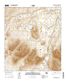
2016 Map of Howard Pass B-2 NE
USGS Topo · Published 2016About this map
Etivluk River meanders through this portion of the North Slope, carving a path through an Arctic landscape defined by its vital waterway networks. The northern reach of the Nigu Hills rises in the southeast, providing a topographical anchor in a region primarily shaped by the drainage patterns of Tukuto Creek. The map documents the intricate hydrology of the area, including the various braids and small basins of Tukuto Cr as it flows toward the larger river systems. This 2016 survey captures the precise geographic boundaries of T11S and T12S, offering a clear view of the unpopulated terrain within the North Slope Borough. The spatial arrangement of these water bodies and hill formations reflects the natural drainage and landforms of the Alaskan interior, relatively unchanged by modern development or infrastructure.
Find a feature on this map
8 named features on this map. Tap any name to fly to it.
Don’t see what you’re looking for? This feature index may not catch every label — zoom into the map to look around manually.
Map Details
Editions of this 2016 Howard Pass B-2 NE Map
This is the sole edition of this map. No revisions or reprints were ever made.
Other maps of this area

1951 · Howard Pass
USGS Topo · 1:250,000

1956 · Howard Pass
USGS Topo · 1:250,000
1984 · Howard Pass B-1
USGS Topo · 1:63,360

1984 · Howard Pass C-1
USGS Topo · 1:63,360
1984 · Howard Pass C-2
USGS Topo · 1:63,360
1984 · Howard Pass B-2
USGS Topo · 1:63,360
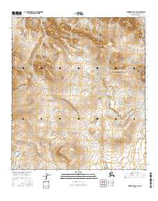
2016 · Howard Pass C-2 SE
USGS Topo · 1:25,000
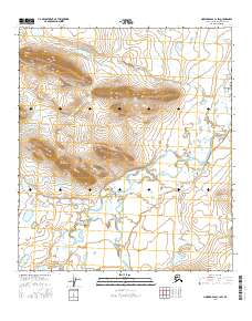
2016 · Howard Pass C-1 SW
USGS Topo · 1:25,000
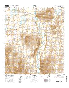
2016 · Howard Pass B-1 NW
USGS Topo · 1:25,000
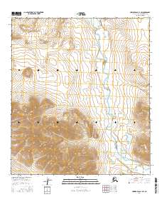
2016 · Howard Pass B-1 SW
USGS Topo · 1:25,000