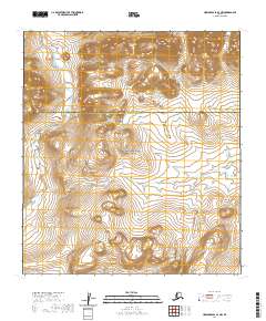
2020 Map of Howard Pass A-3 NW
USGS Topo · Published 2020About this map
Noatak National Preserve encompasses the southern portion of this landscape, a region defined by high-latitude drainage systems and vast public land management. In this remote section of northern Alaska, the terrain serves as a critical watershed where Fauna Cr flows through the southeastern quadrants. The map illustrates the administrative transition between the North Slope Borough and the Northwest Arctic Borough, a boundary that historically delineates subsistence territories and regional governance in the Brooks Range vicinity. To the north, the National Petroleum Reserve - Alaska begins, marking an area of significant geological interest and federal oversight. This 2020 survey provides a detailed look at the township and range lines, including t33n r5e and t32n r6e, which organize this largely untouched wilderness for contemporary resource management.
Find a feature on this map
8 named features on this map. Tap any name to fly to it.
Don’t see what you’re looking for? This feature index may not catch every label — zoom into the map to look around manually.
Map Details
Editions of this 2020 Howard Pass A-3 NW Map
This is the sole edition of this map. No revisions or reprints were ever made.
Other maps of this area

1951 · Howard Pass
USGS Topo · 1:250,000

1956 · Howard Pass
USGS Topo · 1:250,000

1984 · Howard Pass A-3
USGS Topo · 1:63,360

1984 · Howard Pass B-4
USGS Topo · 1:63,360

1984 · Howard Pass B-3
USGS Topo · 1:63,360
1990 · Howard Pass A-4
USGS Topo · 1:63,360
2017 · Howard Pass A-4 NE
USGS Topo · 1:25,000
2017 · Howard Pass A-4 SE
USGS Topo · 1:25,000
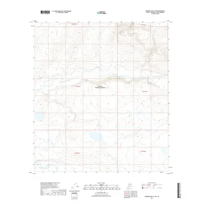
2017 · Howard Pass A-3 SW
USGS Topo · 1:25,000
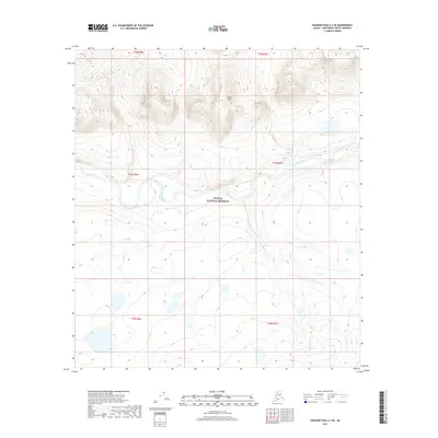
2017 · Howard Pass A-3 SE
USGS Topo · 1:25,000