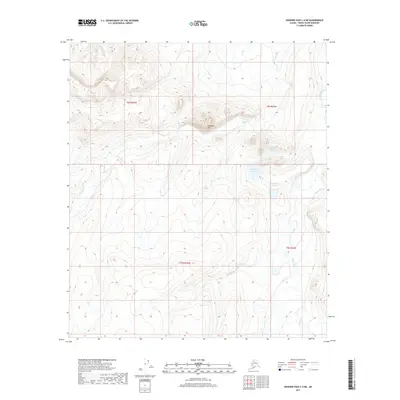
2017 Map of Howard Pass C-4 NE
USGS Topo · Published 2017About this map
Swayback Mtn anchors this Arctic landscape within the North Slope Borough, where the terrain is defined by high-elevation drainage systems and the headwaters of regional waterways. The northern half of the quadrangle is dominated by the complex of Swayback Lakes and the winding course of Swayback Cr, while the eastern margin is marked by the Kuna River. The topography transitions from the high ridges around the mountain into the lower drainage basins of Bushy Cr to the south. This 2017 survey details a remote section of the Brooks Range foothills, illustrating the intricate seasonal hydrology and land divisions of T8S R26W and T8S R25W. The map provides a clear look at the natural contours and water paths before they join larger river systems flowing toward the Arctic Ocean.
Find a feature on this map
9 named features on this map. Tap any name to fly to it.
Don’t see what you’re looking for? This feature index may not catch every label — zoom into the map to look around manually.
Map Details
Editions of this 2017 Howard Pass C-4 NE Map
This is the sole edition of this map. No revisions or reprints were ever made.
Other maps of this area

1951 · Howard Pass
USGS Topo · 1:250,000

1956 · Howard Pass
USGS Topo · 1:250,000
1984 · Howard Pass D-4
USGS Topo · 1:63,360
1984 · Howard Pass D-3
USGS Topo · 1:63,360

1984 · Howard Pass C-4
USGS Topo · 1:63,360

1984 · Howard Pass C-3
USGS Topo · 1:63,360
2016 · Howard Pass C-4 SW
USGS Topo · 1:25,000
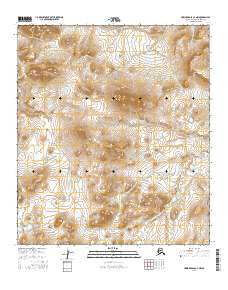
2016 · Howard Pass C-4 NW
USGS Topo · 1:25,000
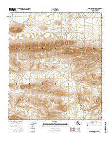
2016 · Howard Pass D-4 SW
USGS Topo · 1:25,000
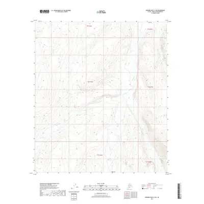
2017 · Howard Pass C-4 SE
USGS Topo · 1:25,000