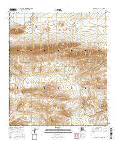
2016 Map of Howard Pass D-4 SW
USGS Topo · Published 2016About this map
Liberator Ridge dominates the northern landscape of this North Slope quadrangle, where the high ground drops away toward the basin of Liberator Lake. The terrain is defined by a sparse but distinct drainage network, including the headwaters of Panic Cr and Anuk Cr. This 2016 survey captures a remote wilderness within the Alaska-North Slope Borough, mapped with precision using contemporary standards while maintaining the traditional topographical focus on family-named or descriptive landmarks. The relationship between the prominent ridge and the surrounding water bodies highlights the characteristic hydrology of the Arctic tundra, where seasonal flow and permanent lakes shape the high-latitude environment.
Find a feature on this map
10 named features on this map. Tap any name to fly to it.
Don’t see what you’re looking for? This feature index may not catch every label — zoom into the map to look around manually.
Map Details
Editions of this 2016 Howard Pass D-4 SW Map
This is the sole edition of this map. No revisions or reprints were ever made.
Other maps of this area

1951 · Howard Pass
USGS Topo · 1:250,000

1956 · Howard Pass
USGS Topo · 1:250,000
1984 · Howard Pass D-4
USGS Topo · 1:63,360
1984 · Howard Pass D-5
USGS Topo · 1:63,360
1984 · Howard Pass C-5
USGS Topo · 1:63,360

1984 · Howard Pass C-4
USGS Topo · 1:63,360
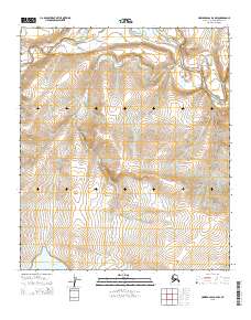
2015 · Howard Pass D-4 NW
USGS Topo · 1:25,000
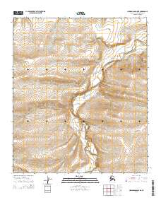
2015 · Howard Pass D-5 NE
USGS Topo · 1:25,000
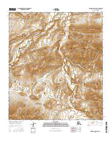
2016 · Howard Pass D-5 SE
USGS Topo · 1:25,000
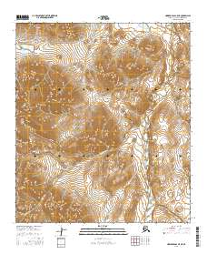
2016 · Howard Pass C-5 NE
USGS Topo · 1:25,000