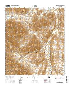
2016 Map of Howard Pass C-5 NE
USGS Topo · Published 2016About this map
Kiligwa River serves as the central drainage for this remote landscape in the North Slope Borough, carving a course through an area defined by significant relief and high-latitude hydrological patterns. The southern portion of the map is dominated by the headwaters and tributaries of Rolling Pin Creek, which winds through the survey area alongside its shorter counterpart Rolling Pin Cr. In the southeast, the appropriately named Query Cr adds to the complex web of alpine streams. The map reveals a wilderness area largely untouched by permanent human infrastructure, where the natural terrain is organized by the Public Land Survey System grids of t9s r29w and t8s r28w. This survey is particularly useful for understanding the geomorphology of the Brooks Range foothills before the shifts of the 21st century.
Find a feature on this map
9 named features on this map. Tap any name to fly to it.
Don’t see what you’re looking for? This feature index may not catch every label — zoom into the map to look around manually.
Map Details
Editions of this 2016 Howard Pass C-5 NE Map
This is the sole edition of this map. No revisions or reprints were ever made.
Other maps of this area

1951 · Howard Pass
USGS Topo · 1:250,000

1956 · Howard Pass
USGS Topo · 1:250,000
1984 · Howard Pass D-4
USGS Topo · 1:63,360
1984 · Howard Pass D-5
USGS Topo · 1:63,360
1984 · Howard Pass C-5
USGS Topo · 1:63,360

1984 · Howard Pass C-4
USGS Topo · 1:63,360
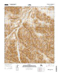
2015 · Howard Pass C-5 NW
USGS Topo · 1:25,000
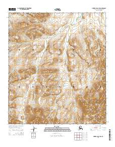
2015 · Howard Pass C-5 SE
USGS Topo · 1:25,000
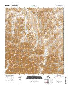
2015 · Howard Pass C-5 SW
USGS Topo · 1:25,000
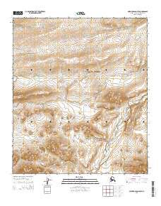
2015 · Howard Pass D-5 SW
USGS Topo · 1:25,000