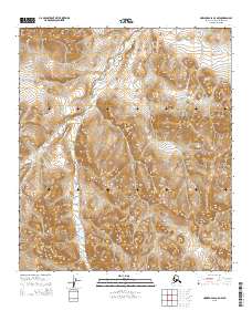
2015 Map of Howard Pass C-5 NW
USGS Topo · Published 2015About this map
Jubilee Cr and Rampart Cr snake through a high-elevation Arctic environment in this northern Alaskan landscape. The drainage patterns on this sheet illustrate a complex watershed where numerous small tributaries feed into larger systems like Recon Cr and Bogie Cr. This 2015 survey, based on imagery from the Alaska Dept. of Transportation, provides a detailed look at the Public Land Survey System (PLSS) divisions within the North Slope Borough, specifically documenting the boundaries of t8s r30w, t8s r29w, t9s r30w, and t9s r29w. The map's fine contour intervals trace the gradual rise and fall of the terrain away from these central waterways, reflecting the untouched character of this remote region where few human-made landmarks exist beyond the surveying lines themselves.
Find a feature on this map
8 named features on this map. Tap any name to fly to it.
Don’t see what you’re looking for? This feature index may not catch every label — zoom into the map to look around manually.
Map Details
Editions of this 2015 Howard Pass C-5 NW Map
This is the sole edition of this map. No revisions or reprints were ever made.
Other maps of this area

1951 · Howard Pass
USGS Topo · 1:250,000

1951 · Misheguk Mountain
USGS Topo · 1:250,000

1956 · Howard Pass
USGS Topo · 1:250,000

1956 · Misheguk Mountain
USGS Topo · 1:250,000
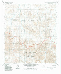
1984 · Misheguk Mountain C-1
USGS Topo · 1:63,360
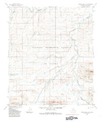
1984 · Howard Pass D-5
USGS Topo · 1:63,360
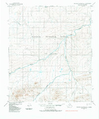
1984 · Misheguk Mountain D-1
USGS Topo · 1:63,360
1984 · Howard Pass C-5
USGS Topo · 1:63,360
2015 · Misheguk Mountain D-1 SE
USGS Topo · 1:25,000
2015 · Howard Pass C-5 SE
USGS Topo · 1:25,000