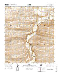
2015 Map of Howard Pass D-5 NE
USGS Topo · Published 2015About this map
Kiliguwa River carves a winding path through this expansive section of the North Slope, serving as the dominant hydrological feature in a landscape defined by dramatic elevation changes. The waterway enters from the east and snakes westward across the township lines of t5s r28w and t6s r28w, where the terrain rises steeply from the riverbanks. The southern portion of the quadrangle is marked by the confluence of Jubilee Cr and the larger river, a point where the local topography levels out slightly before ascending into the higher ridges to the south and west. This 2015 survey provides a contemporary look at the undeveloped wilderness of the North Slope Borough, where the absence of roads or permanent structures highlights the isolation of this Arctic environment. The map captures the intricate drainage patterns and contour shifts that dictate the movement of seasonal meltwater through these remote valleys.
Find a feature on this map
8 named features on this map. Tap any name to fly to it.
Don’t see what you’re looking for? This feature index may not catch every label — zoom into the map to look around manually.
Map Details
Editions of this 2015 Howard Pass D-5 NE Map
This is the sole edition of this map. No revisions or reprints were ever made.
Other maps of this area

1951 · Lookout Ridge
USGS Topo · 1:250,000

1951 · Howard Pass
USGS Topo · 1:250,000

1956 · Lookout Ridge
USGS Topo · 1:250,000

1956 · Howard Pass
USGS Topo · 1:250,000
1984 · Howard Pass D-4
USGS Topo · 1:63,360
1984 · Howard Pass D-5
USGS Topo · 1:63,360
1984 · Lookout Ridge A-4
USGS Topo · 1:63,360
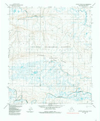
1984 · Lookout Ridge A-5
USGS Topo · 1:63,360
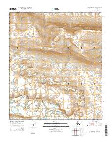
2015 · Lookout Ridge A-4 SW
USGS Topo · 1:25,000
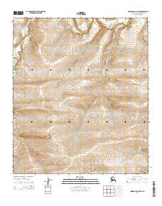
2015 · Howard Pass D-5 NW
USGS Topo · 1:25,000