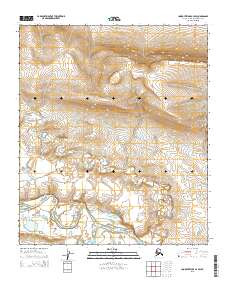
2015 Map of Lookout Ridge A-4 SW
USGS Topo · Published 2015About this map
Colville River and the Kiligwa River converge in the southern reaches of this North Slope landscape, marking a significant hydrologic junction in a region defined by its arctic drainage systems. The meandering path of the river through the tundra is detailed alongside the steep elevation changes of Lookout Ridge to the north. Numerous tributaries, including the winding Grayling Cr, cut through the terrain, illustrating the complex seasonal waterflow patterns that shape this environment. This 2015 U.S. Geological Survey representation emphasizes the natural topography of the borough, showing the transition from the upland ridges down to the broad, braided river valley.
Find a feature on this map
8 named features on this map. Tap any name to fly to it.
Don’t see what you’re looking for? This feature index may not catch every label — zoom into the map to look around manually.
Map Details
Editions of this 2015 Lookout Ridge A-4 SW Map
This is the sole edition of this map. No revisions or reprints were ever made.
Other maps of this area

1951 · Lookout Ridge
USGS Topo · 1:250,000

1951 · Howard Pass
USGS Topo · 1:250,000

1956 · Lookout Ridge
USGS Topo · 1:250,000

1956 · Howard Pass
USGS Topo · 1:250,000
1984 · Howard Pass D-4
USGS Topo · 1:63,360
1984 · Howard Pass D-5
USGS Topo · 1:63,360
1984 · Lookout Ridge A-4
USGS Topo · 1:63,360
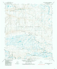
1984 · Lookout Ridge A-5
USGS Topo · 1:63,360
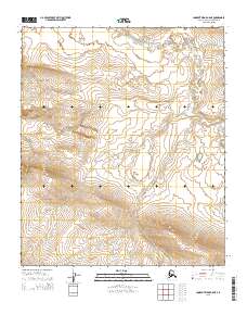
2015 · Lookout Ridge A-5 NE
USGS Topo · 1:25,000
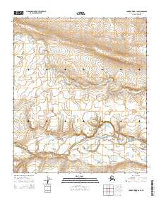
2015 · Lookout Ridge A-5 SE
USGS Topo · 1:25,000