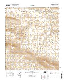
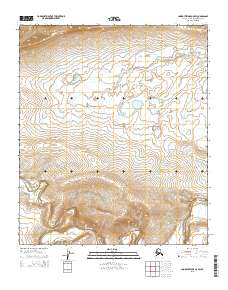
2015 Map of Lookout Ridge A-5 NE
USGS Topo · Published 2015About this map
The Awuna River meanders across the northern reaches of this remote Alaskan landscape, where the vast drainage patterns of the North Slope are recorded in high-resolution detail. This 2015 survey by the U.S. Geological Survey illustrates the transition from the winding river valley to the rising upland terrain of Carbon Cr. The topography is defined by the Public Land Survey System grids of t2s r28w, t2s r27w, and several adjacent townships, which serve as the primary spatial reference for this uninhabited wilderness. Researchers can observe how the local hydrology interacts with the underlying geology, visible in the intricate contour work that captures every subtle drainage and ridge within this portion of the Lookout Ridge area.
Find a feature on this map
8 named features on this map. Tap any name to fly to it.
Don’t see what you’re looking for? This feature index may not catch every label — zoom into the map to look around manually.
Map Details
Editions of this 2015 Lookout Ridge A-5 NE Map
This is the sole edition of this map. No revisions or reprints were ever made.
Other maps of this area

1951 · Lookout Ridge
USGS Topo · 1:250,000

1956 · Lookout Ridge
USGS Topo · 1:250,000
1984 · Lookout Ridge A-4
USGS Topo · 1:63,360
1984 · Lookout Ridge A-5
USGS Topo · 1:63,360
1985 · Lookout Ridge B-5
USGS Topo · 1:63,360
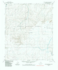
1985 · Lookout Ridge B-4
USGS Topo · 1:63,360
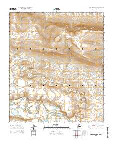
2015 · Lookout Ridge A-4 SW
USGS Topo · 1:25,000
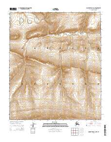
2015 · Lookout Ridge A-5 NW
USGS Topo · 1:25,000
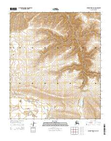
2015 · Lookout Ridge B-5 SE
USGS Topo · 1:25,000
2015 · Lookout Ridge A-5 SW
USGS Topo · 1:25,000