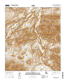
2016 Map of Howard Pass D-5 SE
USGS Topo · Published 2016About this map
Kiliqua River carves a winding path through this portion of the North Slope, serving as the central drainage for a landscape defined by dramatic elevation changes. To the east, the prominent Liberator Ridge rises above the surrounding basin, a distinctive upland feature in this remote Arctic environment. The drainage network is further defined by several tributaries, including Jubilee Creek, Panic Cr, and Striden Cr, which feed into the primary river system. This 2016 survey illustrates the intricate hydrography of the region, where seasonal flow and topographic relief dictate the movement of water across the tundra. The absence of roads or established settlements underscores the wilderness character of the Howard Pass area, where natural landforms remain the primary markers for navigation and study.
Find a feature on this map
14 named features on this map. Tap any name to fly to it.
Don’t see what you’re looking for? This feature index may not catch every label — zoom into the map to look around manually.
Map Details
Editions of this 2016 Howard Pass D-5 SE Map
This is the sole edition of this map. No revisions or reprints were ever made.
Other maps of this area

1951 · Howard Pass
USGS Topo · 1:250,000

1956 · Howard Pass
USGS Topo · 1:250,000
1984 · Howard Pass D-4
USGS Topo · 1:63,360
1984 · Howard Pass D-5
USGS Topo · 1:63,360
1984 · Howard Pass C-5
USGS Topo · 1:63,360

1984 · Howard Pass C-4
USGS Topo · 1:63,360
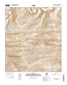
2015 · Howard Pass D-5 NW
USGS Topo · 1:25,000
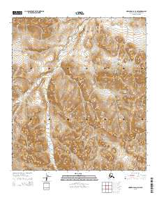
2015 · Howard Pass C-5 NW
USGS Topo · 1:25,000
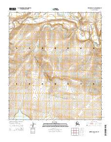
2015 · Howard Pass D-4 NW
USGS Topo · 1:25,000
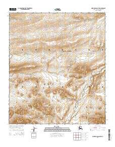
2015 · Howard Pass D-5 SW
USGS Topo · 1:25,000