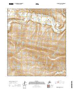
2020 Map of Howard Pass D-4 NE
USGS Topo · Published 2020About this map
The Colville River carves a massive, winding path through the northern landscape of this remote portion of the North Slope. The river corridor is defined by complex braided channels and wide gravel bars, indicating a highly dynamic fluvial environment that shifts seasonally with the Arctic thaw. To the south, the terrain rises sharply toward the prominence of Etigonik Mtn, which dominates the local topography. This area is situated within the township boundaries of t5s r26w and t6s r25w, where the relationship between the low-lying river basin and the surrounding uplands is clearly delineated through detailed contour mapping. The absence of roads or permanent structures reflects the wilderness character of the region, emphasizing the scale of the natural landforms over human development.
Find a feature on this map
6 named features on this map. Tap any name to fly to it.
Don’t see what you’re looking for? This feature index may not catch every label — zoom into the map to look around manually.
Map Details
Editions of this 2020 Howard Pass D-4 NE Map
This is the sole edition of this map. No revisions or reprints were ever made.
Other maps of this area

1951 · Lookout Ridge
USGS Topo · 1:250,000

1951 · Howard Pass
USGS Topo · 1:250,000

1956 · Lookout Ridge
USGS Topo · 1:250,000

1956 · Howard Pass
USGS Topo · 1:250,000
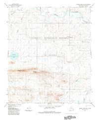
1984 · Howard Pass D-4
USGS Topo · 1:63,360
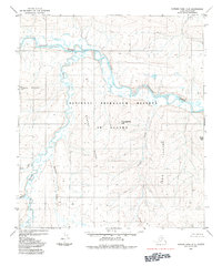
1984 · Howard Pass D-3
USGS Topo · 1:63,360
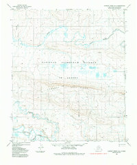
1984 · Lookout Ridge A-4
USGS Topo · 1:63,360
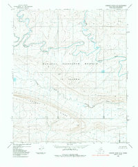
1984 · Lookout Ridge A-3
USGS Topo · 1:63,360
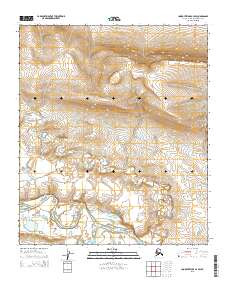
2015 · Lookout Ridge A-4 SW
USGS Topo · 1:25,000
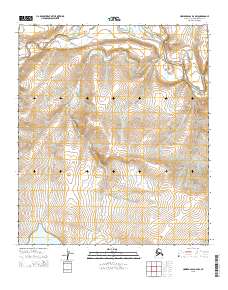
2015 · Howard Pass D-4 NW
USGS Topo · 1:25,000