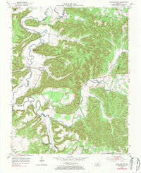
1953 Map of Howardstown
USGS Topo · Published 1984About this map
Rolling Fork defines the movement and settlement patterns across this Kentucky landscape, its winding course threading through the borders of Nelson, LaRue, and Marion counties. The primary village of Howardstown serves as a central hub, situated near the prominent Newton Point and the sharp ridge of Devils Backbone. The map reveals a deeply etched topography where hollows like Old Coon Hollow and Big Lick Hollow provide natural drainage toward the main river system.
Find a feature on this map
37 named features on this map. Tap any name to fly to it.
Don’t see what you’re looking for? This feature index may not catch every label — zoom into the map to look around manually.
Map Details
Editions of this 1953 Howardstown Map
4 editions found
Other maps of this area

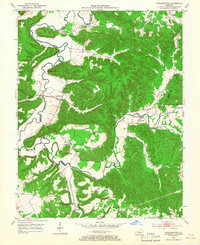
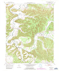
1953 · Howardstown
USGS Topo · 1:24,000

1953 · Loretto
USGS Topo · 1:24,000

1953 · Nelsonville
USGS Topo · 1:24,000

1953 · Saloma
USGS Topo · 1:24,000

1953 · Hibernia
USGS Topo · 1:24,000

1953 · New Haven
USGS Topo · 1:24,000

1953 · Magnolia
USGS Topo · 1:24,000
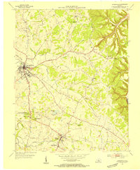
1953 · Hodgenville
USGS Topo · 1:24,000

1953 · Raywick
USGS Topo · 1:24,000

1957 · Winchester
USGS Topo · 1:250,000