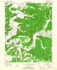
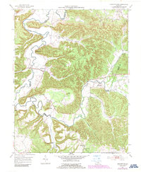
1953 Map of Howardstown
USGS Topo · Published 1968About this map
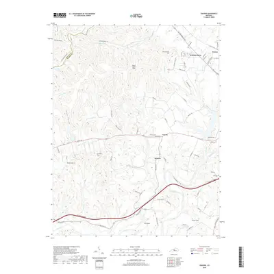
The Rolling Fork carves a winding path through the central Kentucky landscape, defining the jagged border between Nelson and LaRue counties. During the early 1950s, this region was characterized by scattered rural settlements and small hilltop communities connected by ridge-running roads and creek-bottom trails. Howardstown serves as a primary hub for this area, supported by the Catholic heritage of St Vincent de Paul Cem and St Ann Cem.
Find a feature on this map
35 named features on this map. Tap any name to fly to it.
Don’t see what you’re looking for? This feature index may not catch every label — zoom into the map to look around manually.
Map Details
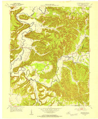
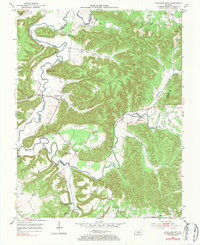
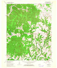
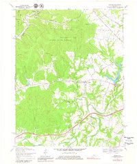
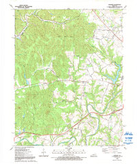
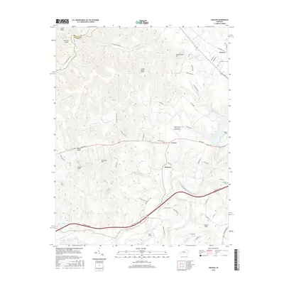
Editions of this 1953 Howardstown Map
4 editions found
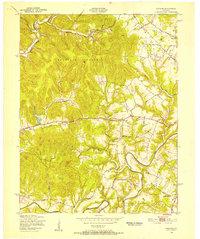
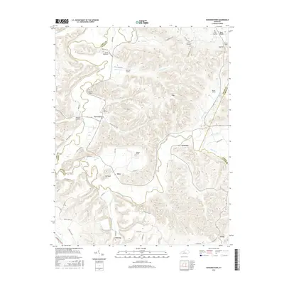
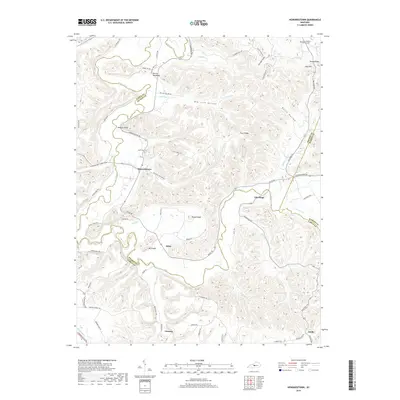
Historical Maps of Stiles Through Time
15 maps found
1949 Cravens
Nelson County, KY
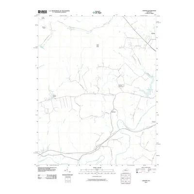
1953 Howardstown
Nelson County, KY
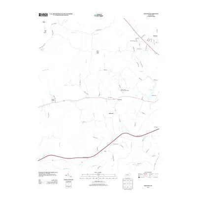
1962 Cravens
Nelson County, KY
1967 Cravens
Nelson County, KY
1992 Cravens
Nelson County, KY
2010 Cravens
Nelson County, KY
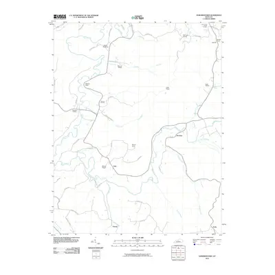
2010 Howardstown
Nelson County, KY
2013 Cravens
Nelson County, KY
2013 Howardstown
Nelson County, KY
2016 Cravens
Nelson County, KY
2016 Howardstown
Nelson County, KY
2019 Cravens
Nelson County, KY
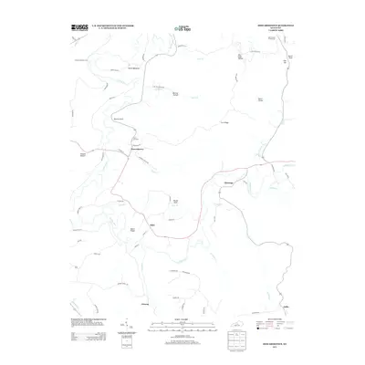
2019 Howardstown
Nelson County, KY
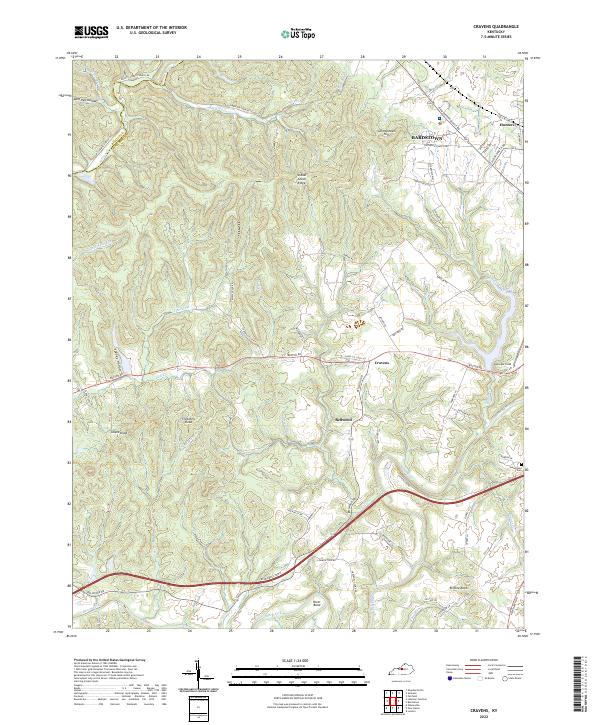
2022 Cravens
Nelson County, KY
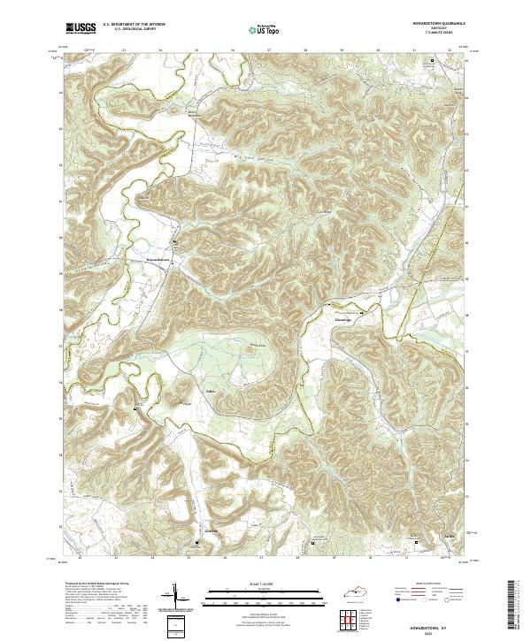
2022 Howardstown
Nelson County, KY