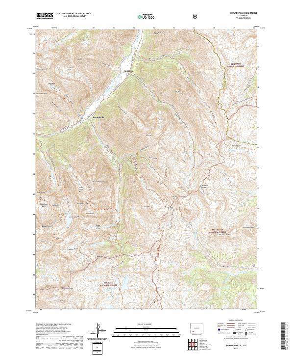
2022 Map of Howardsville
USGS Topo · Published 2022About this map
The Animas River flows through a landscape of high-altitude basins and steep gulches in the heart of the San Juan Mountains. Early settlements like Howardsville and Middleton sit at the intersections of vital transit routes, where historic mining activity carved out a network of roads and trails including the Minnie Gulch Road Trl and Maggie Gulch Road Trl. These corridors follow the drainage of Cunningham Creek and Minnie Gulch, leading toward the high alpine water of Silver Lake and Crystal Lake.
Find a feature on this map
96 named features on this map. Tap any name to fly to it.
Don’t see what you’re looking for? This feature index may not catch every label — zoom into the map to look around manually.
Map Details
Editions of this 2022 Howardsville Map
This is the sole edition of this map. No revisions or reprints were ever made.
Other maps of this area

1897 · Silverton
USGS Topo · 1:62,500

1900 · Needle Mountains
USGS Topo · 1:62,500

1901 · Silverton
USGS Topo · 1:62,500

1902 · Needle Mountains
USGS Topo · 1:62,500

1902 · Silverton
USGS Topo · 1:62,500

1905 · San Cristobal
USGS Topo · 1:125,000

1907 · San Cristobal
USGS Topo · 1:125,000

1945 · Durango
USGS Topo · 1:250,000

1953 · Durango
USGS Topo · 1:250,000

1954 · Durango
USGS Topo · 1:250,000