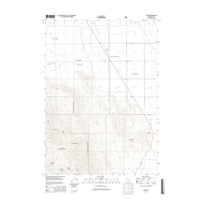
2013 Map of Howe
USGS Topo · Published 2013About this map
Howe serves as the focal point of this high-desert landscape where the Little Lost River Valley meets the southern foothills of the Lost River Range. The settlement is situated at a critical hydraulic junction, where the waters of the Little Lost River and Hurst Cr emerge from the high country into the broad alluvial plains. This geography is defined by a sharp contrast between the irrigated valley floor and the dramatic relief of the Challis National Forest, which rises steeply to the west.
Find a feature on this map
21 named features on this map. Tap any name to fly to it.
Don’t see what you’re looking for? This feature index may not catch every label — zoom into the map to look around manually.
Map Details
Editions of this 2013 Howe Map
This is the sole edition of this map. No revisions or reprints were ever made.
Other maps of this area

1955 · Idaho Falls
USGS Topo · 1:250,000

1958 · Idaho Falls
USGS Topo · 1:250,000

1969 · Arco Pass
USGS Topo · 1:24,000

1969 · Little Lost River Sinks
USGS Topo · 1:24,000

1969 · Tyler Peak
USGS Topo · 1:24,000

1969 · Howe
USGS Topo · 1:24,000

1969 · Howe NW
USGS Topo · 1:24,000

1969 · Howe NE
USGS Topo · 1:24,000

1972 · Howe Peak
USGS Topo · 1:24,000

1972 · Arco Hills
USGS Topo · 1:24,000