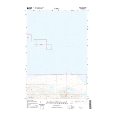
2014 Map of Howe Lake
USGS Topo · Published 2014About this map
Lighthouse Island and the Huron Islands chain stand as distinct landmarks within the Lake Superior waters of Marquette County. This survey of the Powell Township coast highlights a complex shoreline defined by Huron River Point and the elevations of the Huron Mountains. Inland, the landscape is punctuated by a network of freshwater bodies, including Howe Lake, Rush Lake, and Lake Ann. The presence of Huron Mtn near the shore suggests the dramatic rise in terrain that characterizes this stretch of the Michigan coast. Further east, Rush Cr drains toward Pine Lake, illustrating the natural drainage patterns of this largely undeveloped woodland and coastal environment. Smaller outcrops such as McIntyre Island and Gull Island further define the archipelago that once served as critical navigational markers for maritime traffic.
Find a feature on this map
16 named features on this map. Tap any name to fly to it.
Don’t see what you’re looking for? This feature index may not catch every label — zoom into the map to look around manually.
Map Details
Editions of this 2014 Howe Lake Map
This is the sole edition of this map. No revisions or reprints were ever made.
Other maps of this area

1954 · Huron Mountain
USGS Topo · 1:62,500

1954 · Skanee
USGS Topo · 1:62,500

1958 · Hancock
USGS Topo · 1:250,000

1958 · Marquette
USGS Topo · 1:250,000

1958 · Iron River
USGS Topo · 1:250,000

1960 · Iron River
USGS Topo · 1:250,000

1960 · Hancock
USGS Topo · 1:250,000

1960 · Marquette
USGS Topo · 1:250,000

1961 · Marquette
USGS Topo · 1:250,000

1961 · Iron River
USGS Topo · 1:250,000