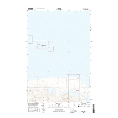
2017 Map of Howe Lake
USGS Topo · Published 2017About this map
Lake Superior defines the northern reaches of this coastal survey, where the Huron Islands break the surface of the water miles from the mainland. Among these landforms, McIntyre Island and Gull Island stand as prominent markers in the open lake. To the south, the shoreline is shaped by Huron River Point, a sharp geographical feature that transitions into a network of inland waterways.
Find a feature on this map
15 named features on this map. Tap any name to fly to it.
Don’t see what you’re looking for? This feature index may not catch every label — zoom into the map to look around manually.
Map Details
Editions of this 2017 Howe Lake Map
This is the sole edition of this map. No revisions or reprints were ever made.
Other maps of this area

1954 · Huron Mountain
USGS Topo · 1:62,500

1954 · Skanee
USGS Topo · 1:62,500

1958 · Hancock
USGS Topo · 1:250,000

1958 · Marquette
USGS Topo · 1:250,000

1958 · Iron River
USGS Topo · 1:250,000

1960 · Iron River
USGS Topo · 1:250,000

1960 · Hancock
USGS Topo · 1:250,000

1960 · Marquette
USGS Topo · 1:250,000

1961 · Marquette
USGS Topo · 1:250,000

1961 · Iron River
USGS Topo · 1:250,000