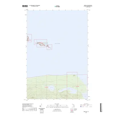
2023 Map of Howe Lake
USGS Topo · Published 2023About this map
The Huron National Wildlife Refuge encompasses a series of rocky outcroppings in Lake Superior, including McIntyre Island, Gull Island, and the broader Huron Islands chain. These offshore features represent an essential wilderness corridor managed for conservation along the northern coastline of Marquette County.
Find a feature on this map
15 named features on this map. Tap any name to fly to it.
Don’t see what you’re looking for? This feature index may not catch every label — zoom into the map to look around manually.
Map Details
Editions of this 2023 Howe Lake Map
This is the sole edition of this map. No revisions or reprints were ever made.
Other maps of this area

1954 · Huron Mountain
USGS Topo · 1:62,500

1954 · Skanee
USGS Topo · 1:62,500

1958 · Hancock
USGS Topo · 1:250,000

1958 · Marquette
USGS Topo · 1:250,000

1958 · Iron River
USGS Topo · 1:250,000

1960 · Iron River
USGS Topo · 1:250,000

1960 · Hancock
USGS Topo · 1:250,000

1960 · Marquette
USGS Topo · 1:250,000

1961 · Marquette
USGS Topo · 1:250,000

1961 · Iron River
USGS Topo · 1:250,000