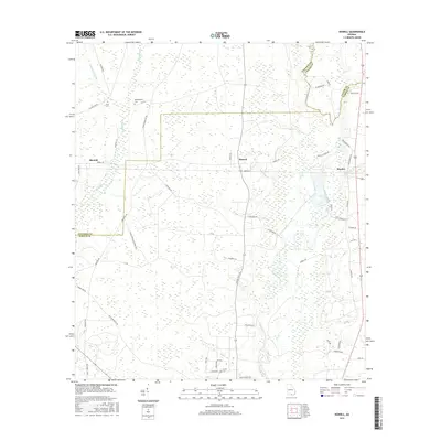
2017 Map of Howell
USGS Topo · Published 2017About this map
The Alapaha River meanders through this landscape on the border of Lowndes, Lanier, and Echols Counties, defining the drainage patterns of south Georgia. In this rural stretch, the settlement at Howell stands as a central point along N State Rte 135, while the small communities of Blanton and Mayday anchor the western and eastern portions of the quadrangle respectively. The land is heavily marked by wetlands and tributary systems such as Grand Bay Cr and Howell Br.
Find a feature on this map
63 named features on this map. Tap any name to fly to it.
Don’t see what you’re looking for? This feature index may not catch every label — zoom into the map to look around manually.
Map Details
Editions of this 2017 Howell Map
This is the sole edition of this map. No revisions or reprints were ever made.
Other maps of this area

1954 · Valdosta
USGS Topo · 1:250,000

1958 · Valdosta
USGS Topo · 1:250,000

1959 · Valdosta
USGS Topo · 1:250,000

1968 · Naylor
USGS Topo · 1:24,000

1971 · Indianola
USGS Topo · 1:24,000

1971 · Howell
USGS Topo · 1:24,000

1971 · Lake Park
USGS Topo · 1:24,000

1971 · Stockton
USGS Topo · 1:24,000

1971 · Tarver
USGS Topo · 1:24,000
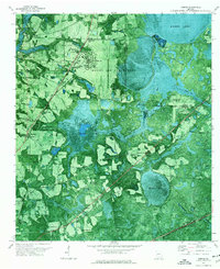
1971 · Bemiss
USGS Topo · 1:24,000