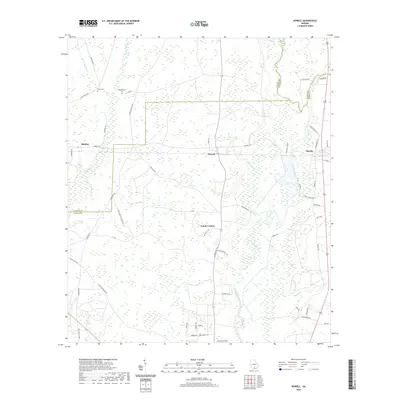
2020 Map of Howell
USGS Topo · Published 2020About this map
The Alapaha River snakes through the heart of Echols County, defining the low-lying drainage patterns of this South Georgia landscape. In the eastern reaches, the river is fed by numerous tributaries including Bills Br, Big Br, and Rentz Br. Settlement is concentrated around the small communities of Howell, Blanton, and Mayday, where the road network transitions from state routes like N State Rte 135 to local lanes such as Magnolia Ln and Valentine Rd.
Find a feature on this map
62 named features on this map. Tap any name to fly to it.
Don’t see what you’re looking for? This feature index may not catch every label — zoom into the map to look around manually.
Map Details
Editions of this 2020 Howell Map
This is the sole edition of this map. No revisions or reprints were ever made.
Other maps of this area

1954 · Valdosta
USGS Topo · 1:250,000

1958 · Valdosta
USGS Topo · 1:250,000

1959 · Valdosta
USGS Topo · 1:250,000

1968 · Naylor
USGS Topo · 1:24,000

1971 · Indianola
USGS Topo · 1:24,000

1971 · Howell
USGS Topo · 1:24,000

1971 · Lake Park
USGS Topo · 1:24,000

1971 · Stockton
USGS Topo · 1:24,000

1971 · Tarver
USGS Topo · 1:24,000
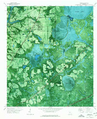
1971 · Bemiss
USGS Topo · 1:24,000