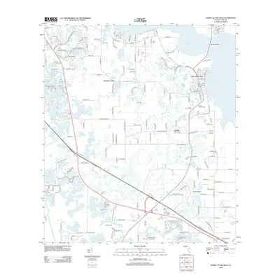
2012 Map of Howey-in-the-Hills
USGS Topo · Published 2012About this map
Lake Harris dominates the northern horizon of this central Florida landscape, where the town of Howey In The Hills occupies the eastern shoreline. The map reveals a region defined by its numerous water bodies, from the larger Lake Margaretta and Turkey Lake to smaller, family-named features like Lake Annabelle Reed and Lake Bertha. Civil infrastructure is noted by landmarks such as the Howey-In-The-Hills Water Tower and the Memorial Bridge spanning the lake's reach.
Find a feature on this map
182 named features on this map. Tap any name to fly to it.
Don’t see what you’re looking for? This feature index may not catch every label — zoom into the map to look around manually.
Map Details
Editions of this 2012 Howey-in-the-Hills Map
This is the sole edition of this map. No revisions or reprints were ever made.
Other maps of this area

1955 · Orlando
USGS Topo · 1:250,000

1957 · Orlando
USGS Topo · 1:250,000

1958 · Orlando
USGS Topo · 1:250,000

1962 · Orlando
USGS Topo · 1:250,000

1962 · Clermont East
USGS Topo · 1:24,000

1962 · Astatula
USGS Topo · 1:24,000

1965 · Leesburg East
USGS Topo · 1:24,000

1966 · Leesburg West
USGS Topo · 1:24,000
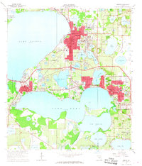
1966 · Eustis
USGS Topo · 1:24,000
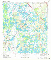
1969 · Center Hill
USGS Topo · 1:24,000