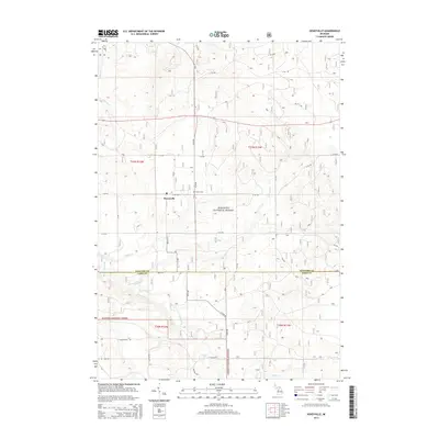
2014 Map of Hoxeyville
USGS Topo · Published 2014About this map
Hoxeyville sits at the heart of this landscape, positioned within the protected boundaries of the Manistee National Forest. This 2014 survey documents a region defined by its dense network of waterways and managed woodlands spanning the border of Wexford and Lake Counties. The settlement pattern is relatively sparse, with the Banker Cem providing a notable genealogical anchor near the intersection of several numbered forest roads. A complex system of tributaries, including Hoxey Cr, Peterson Cr, and Poplar Cr, feeds into the Pine River as it winds through the southwestern corner of the quadrangle. The map details a transition in the local infrastructure from the northern sections in Townships t21n r11w and t21n r12w down to the southern reaches near E 10 Mile Rd, reflecting the modern road grid that services this forested interior of Michigan.
Find a feature on this map
26 named features on this map. Tap any name to fly to it.
Don’t see what you’re looking for? This feature index may not catch every label — zoom into the map to look around manually.
Map Details
Editions of this 2014 Hoxeyville Map
This is the sole edition of this map. No revisions or reprints were ever made.
Other maps of this area

1933 · Peacock SE
USGS Topo · 1:31,680

1933 · Luther SE
USGS Topo · 1:31,680

1933 · Peacock NE
USGS Topo · 1:31,680

1933 · Luther SW
USGS Topo · 1:31,680

1933 · Luther NW
USGS Topo · 1:31,680

1954 · Traverse City
USGS Topo · 1:250,000

1956 · Mesick
USGS Topo · 1:62,500

1957 · Copemish
USGS Topo · 1:62,500

1957 · Luther
USGS Topo · 1:62,500

1957 · Wellston
USGS Topo · 1:62,500