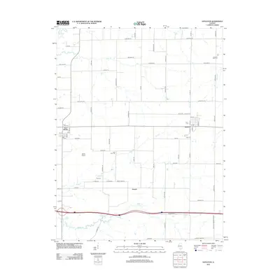
2012 Map of Hoyleton
USGS Topo · Published 2012About this map
The agricultural community of Hoyleton serves as a central hub in this section of Washington County, defined by a rigid grid of rural roads and the drainage patterns of North Cr and Middle Cr. Further west, the village of New Minden sits near the intersection of several local routes, anchored by the Saint Johns Cem. The landscape reflects a deeply rooted rural heritage, evident in the distribution of family-connected sites such as the Unverfehrt Stock Farm and numerous country burial grounds including Trinity Cem and Zion Cem.
Find a feature on this map
67 named features on this map. Tap any name to fly to it.
Don’t see what you’re looking for? This feature index may not catch every label — zoom into the map to look around manually.
Map Details
Editions of this 2012 Hoyleton Map
This is the sole edition of this map. No revisions or reprints were ever made.
Other maps of this area

1910 · Carlyle
USGS Topo · 1:62,500

1914 · Centralia
USGS Topo · 1:62,500

1931 · Hoyleton
USGS Topo · 1:48,000

1932 · Nashville
USGS Topo · 1:62,500

1935 · Centralia
USGS Topo · 1:62,500

1936 · Nashville
USGS Topo · 1:62,500

1943 · Ashley
USGS Topo · 1:62,500

1946 · Ashley
USGS Topo · 1:62,500

1948 · Carlyle
USGS Topo · 1:62,500

1958 · Belleville
USGS Topo · 1:250,000