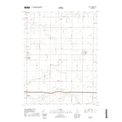
2018 Map of Hoyleton
USGS Topo · Published 2018About this map
Nashville and Hoyleton anchor this agricultural section of Washington County, where a grid of rural roads and watercourses defines the landscape of the Illinois prairie. The village of New Minden and the smaller settlement of Huegely serve as local hubs, surrounded by a dense network of family-named thoroughfares such as Walnut Hill Rd and Hickory Rd. Several historical burial grounds, including Saint Johns Cem and Trinity Cem, are situated near the town centers, while others like North Prairie Cem and Pleasant Grove Cem are placed further afield in the township sections. The drainage of the land is illustrated by Coon Creek and Middle Creek, which carve gentle paths through the surrounding farmlands. This survey provides a modern view of a region that has maintained its traditional township structure and community layout over many generations.
Find a feature on this map
68 named features on this map. Tap any name to fly to it.
Don’t see what you’re looking for? This feature index may not catch every label — zoom into the map to look around manually.
Map Details
Editions of this 2018 Hoyleton Map
This is the sole edition of this map. No revisions or reprints were ever made.
Other maps of this area

1910 · Carlyle
USGS Topo · 1:62,500

1914 · Centralia
USGS Topo · 1:62,500

1931 · Hoyleton
USGS Topo · 1:48,000

1932 · Nashville
USGS Topo · 1:62,500

1935 · Centralia
USGS Topo · 1:62,500

1936 · Nashville
USGS Topo · 1:62,500

1943 · Ashley
USGS Topo · 1:62,500

1946 · Ashley
USGS Topo · 1:62,500

1948 · Carlyle
USGS Topo · 1:62,500

1958 · Belleville
USGS Topo · 1:250,000