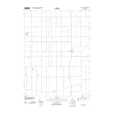
2010 Map of Hoytville
USGS Topo · Published 2010About this map
Hoytville serves as the central hub of this agricultural landscape in Wood County, where a rigorous grid of section-line roads like Hammansburg Rd and Oil Center Rd defines the territory. The map documents a rural economy still anchored by landmarks such as Reyskens Dairy and the small-scale industrial history suggested by Butlers Mill near Hancock.
Find a feature on this map
49 named features on this map. Tap any name to fly to it.
Don’t see what you’re looking for? This feature index may not catch every label — zoom into the map to look around manually.
Map Details
Editions of this 2010 Hoytville Map
This is the sole edition of this map. No revisions or reprints were ever made.
Other maps of this area

1901 · Bowling Green
USGS Topo · 1:62,500

1903 · Bowling Green
USGS Topo · 1:62,500

1903 · Findlay
USGS Topo · 1:62,500

1909 · Mc Clure
USGS Topo · 1:62,500

1956 · Toledo
USGS Topo · 1:250,000

1958 · Bowling Green South
USGS Topo · 1:24,000

1960 · Deshler
USGS Topo · 1:24,000

1960 · North Baltimore
USGS Topo · 1:24,000
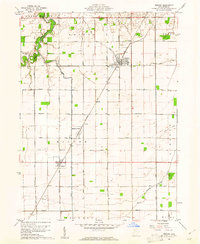
1960 · Weston
USGS Topo · 1:24,000
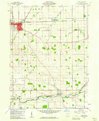
1960 · Leipsic
USGS Topo · 1:24,000