
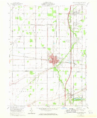
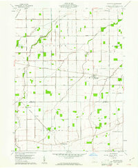
1960 Map of North Baltimore
USGS Topo · Published 1961About this map
North Baltimore stands as a central hub of activity at the transition between Wood and Hancock counties in 1960. The landscape is defined by its industrial and agricultural connectivity, with the Baltimore and Ohio and New York Central railroads crossing the region. This survey captures a specific mid-century moment where local infrastructure, including several quarries and extensive tank farms, indicates a robust regional economy built on extraction and transport.
Find a feature on this map
48 named features on this map. Tap any name to fly to it.
Don’t see what you’re looking for? This feature index may not catch every label — zoom into the map to look around manually.
Map Details
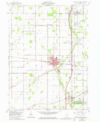
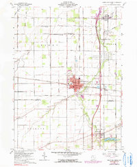
Editions of this 1960 North Baltimore Map
4 editions found
Other maps of this area

1901 · Bowling Green
USGS Topo · 1:62,500

1903 · Bowling Green
USGS Topo · 1:62,500

1903 · Findlay
USGS Topo · 1:62,500

1909 · Mc Clure
USGS Topo · 1:62,500

1956 · Toledo
USGS Topo · 1:250,000

1958 · Jerry City
USGS Topo · 1:24,000

1958 · Bowling Green South
USGS Topo · 1:24,000

1960 · Bloomdale
USGS Topo · 1:24,000
1960 · Weston
USGS Topo · 1:24,000
1960 · Hoytville
USGS Topo · 1:24,000
Featured Places
- North Baltimore, OH
- Cygnet, OH
- Van Buren, OH
- North Baltimore, OH
- Eagle Landing Mobile Home Park, North Baltimore