
1960 Map of Bloomdale
USGS Topo · Published 1961About this map
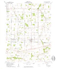
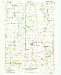
Bloomdale and Bairdstown anchor this 1960 survey of southern Wood County, Ohio, showing a landscape defined by the Baltimore and Ohio railroad and a dense network of local township roads. The map illustrates a rural economy in transition, where numerous quarries and oil wells dot the fields near Eagleville and Bloom Center. The drainage patterns of the South Branch Portage River, Bull Creek, and Rocky Ford Creek dictate the terrain as it crosses into Hancock County. For genealogists, the map is a vital resource, preserving the locations of rural burial grounds like Chapel Cem, Weaver Cem, and Ark Cem. The presence of many family-named roads, such as Leathers Road and Browneller Road, provides a clear spatial link to the farming families of Bloom and Perry townships during the mid-twentieth century.
Find a feature on this map
44 named features on this map. Tap any name to fly to it.
Don’t see what you’re looking for? This feature index may not catch every label — zoom into the map to look around manually.
Map Details
Editions of this 1960 Bloomdale Map
3 editions found
Other maps of this area

1901 · Fostoria
USGS Topo · 1:62,500

1901 · Bowling Green
USGS Topo · 1:62,500

1901 · Elmore
USGS Topo · 1:62,500

1903 · Bowling Green
USGS Topo · 1:62,500

1903 · Fostoria
USGS Topo · 1:62,500

1903 · Findlay
USGS Topo · 1:62,500

1903 · Elmore
USGS Topo · 1:62,500

1956 · Toledo
USGS Topo · 1:250,000

1958 · Jerry City
USGS Topo · 1:24,000

1958 · Bowling Green South
USGS Topo · 1:24,000