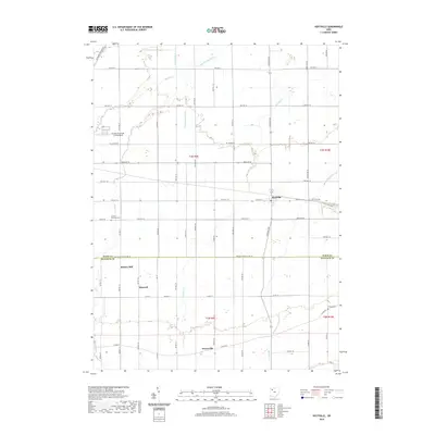
2019 Map of Hoytville
USGS Topo · Published 2019About this map
Hoytville serves as the central hub of this agricultural landscape, situated at the intersection of Otsego Pike and W Church St. The map illustrates a meticulously gridded countryside where small settlements like Deweyville, Hancock, and Butlers Mill dot the plains of Wood and Hancock counties. The Wood Co Hancock Co line is a prominent east-west divider, with the local economy historically tied to the surrounding fields and the Baltimore and Ohio RR running through the northwest corner.
Find a feature on this map
61 named features on this map. Tap any name to fly to it.
Don’t see what you’re looking for? This feature index may not catch every label — zoom into the map to look around manually.
Map Details
Editions of this 2019 Hoytville Map
This is the sole edition of this map. No revisions or reprints were ever made.
Other maps of this area

1901 · Bowling Green
USGS Topo · 1:62,500

1903 · Bowling Green
USGS Topo · 1:62,500

1903 · Findlay
USGS Topo · 1:62,500

1909 · Mc Clure
USGS Topo · 1:62,500

1956 · Toledo
USGS Topo · 1:250,000

1958 · Bowling Green South
USGS Topo · 1:24,000

1960 · Deshler
USGS Topo · 1:24,000

1960 · North Baltimore
USGS Topo · 1:24,000
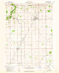
1960 · Weston
USGS Topo · 1:24,000
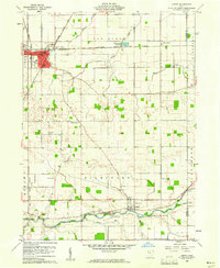
1960 · Leipsic
USGS Topo · 1:24,000