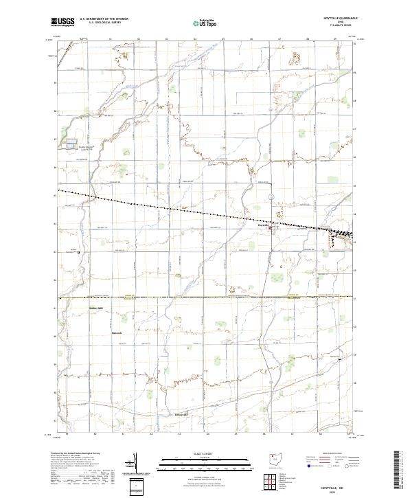
2023 Map of Hoytville
USGS Topo · Published 2023About this map
The small village of Hoytville serves as the focal point of this agricultural landscape in northwestern Ohio, situated at the junction of Twp Hwy 124 and Otsego Pike. The terrain is defined by an intricate network of waterways and drainage ditches, including the North Branch Portage River, Needles Creek, and the Cutoff Ditch. This drainage system is characteristic of the former Great Black Swamp region, where managed water flow turned dense marshland into productive farmland.
Find a feature on this map
60 named features on this map. Tap any name to fly to it.
Don’t see what you’re looking for? This feature index may not catch every label — zoom into the map to look around manually.
Map Details
Editions of this 2023 Hoytville Map
This is the sole edition of this map. No revisions or reprints were ever made.
Other maps of this area

1901 · Bowling Green
USGS Topo · 1:62,500

1903 · Bowling Green
USGS Topo · 1:62,500

1903 · Findlay
USGS Topo · 1:62,500

1909 · Mc Clure
USGS Topo · 1:62,500

1956 · Toledo
USGS Topo · 1:250,000

1958 · Bowling Green South
USGS Topo · 1:24,000

1960 · Deshler
USGS Topo · 1:24,000

1960 · North Baltimore
USGS Topo · 1:24,000
1960 · Weston
USGS Topo · 1:24,000
1960 · Leipsic
USGS Topo · 1:24,000