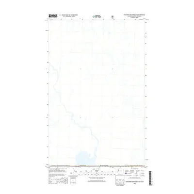
2014 Map of Hozomeen Mountain OE N
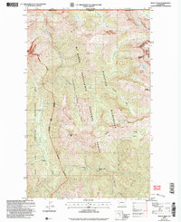
USGS Topo · Published 2014About this map
The international border between Canada and the United States defines this survey, marking the jurisdictional transition between Washington and British Columbia. This area within Whatcom Co is dominated by a complex network of unnamed drainage systems and river valleys that flow through the high-elevation terrain of the North Cascades. The map’s focus on the boundary line illustrates the remote nature of this wilderness region, where human infrastructure is largely absent in favor of natural hydrological features. The detail provided by the U.S. Geological Survey and the U.S. Forest Service emphasizes the administrative and natural landscape along the 49th parallel during the early twenty-first century.
Find a feature on this map
3 named features on this map. Tap any name to fly to it.
Don’t see what you’re looking for? This feature index may not catch every label — zoom into the map to look around manually.
Map Details
Editions of this 2014 Hozomeen Mountain OE N Map
This is the sole edition of this map. No revisions or reprints were ever made.
Other maps of this area

1920 · Slate Pass
USGS Topo · 1:125,000

1955 · Concrete
USGS Topo · 1:250,000

1958 · Concrete
USGS Topo · 1:250,000

1962 · Concrete
USGS Topo · 1:250,000

1969 · Skagit Peak
USGS Topo · 1:24,000
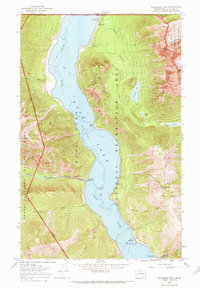
1969 · Hozomeen Mtn
USGS Topo · 1:24,000
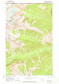
1969 · Mt Spickard
USGS Topo · 1:24,000

1979 · Mt. Baker
USGS Topo · 1:100,000
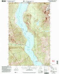
2002 · Hozomeen Mountain
USGS Topo · 1:24,000
2002 · Skagit Peak
USGS Topo · 1:24,000