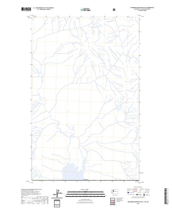
2023 Map of Hozomeen Mountain OE N
USGS Topo · Published 2023About this map
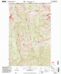
The international boundary with Canada defines the northern edge of this remote high-altitude corridor in Whatcom County. This 2023 survey documents the hydrographic network of the region as it exists today, focusing on the intricate drainage systems that flow through this northern borderland. While the map is sparse regarding human settlements or developed infrastructure, it precisely records the natural water features and topographical drainage patterns that have shaped the wilderness character of this area since the boundary was established. This data serves as a modern record of the unchanged mountain terrain along the northernmost limit of Washington.
Find a feature on this map
1 named feature on this map. Tap any name to fly to it.
Don’t see what you’re looking for? This feature index may not catch every label — zoom into the map to look around manually.
Map Details
Editions of this 2023 Hozomeen Mountain OE N Map
This is the sole edition of this map. No revisions or reprints were ever made.
Other maps of this area

1920 · Slate Pass
USGS Topo · 1:125,000

1955 · Concrete
USGS Topo · 1:250,000

1958 · Concrete
USGS Topo · 1:250,000

1962 · Concrete
USGS Topo · 1:250,000

1969 · Skagit Peak
USGS Topo · 1:24,000
1969 · Hozomeen Mtn
USGS Topo · 1:24,000
1969 · Mt Spickard
USGS Topo · 1:24,000

1979 · Mt. Baker
USGS Topo · 1:100,000
2002 · Hozomeen Mountain
USGS Topo · 1:24,000
2002 · Skagit Peak
USGS Topo · 1:24,000