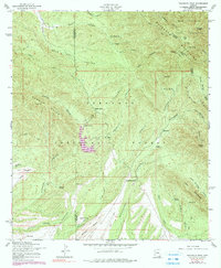
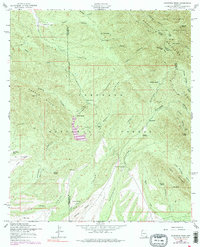
1958 Map of Huachuca Peak
USGS Topo · Published 1990About this map
Huachuca Mountains terrain dominates this 1958 survey, where the rugged southern Arizona landscape is defined by the high elevations of Huachuca Peak and the sprawling Fort Huachuca Military Reservation. The map details a cattle-ranching and mining economy concentrated within the Coronado National Forest, featuring family-named locations such as Peterson Ranch, Parker Ranch, and Sunnyside Ranch. Evidence of earlier industrial efforts appears at the Eureka Mine near Eureka Peak, while local history is anchored by the Sunnyside Cemetery and small outposts like Tom Wills Camp and Joiner Camp. Canyons including Scotia Canyon and Bodie Canyon carve through the peaks, providing drainage for essential water sources like Collins Spring and Neighbor Spring. The map also captures the political geography of the era, marking the diagonal Santa Cruz Co - Cochise Co boundary as it crosses the Canelo Hills.
Find a feature on this map
52 named features on this map. Tap any name to fly to it.
Don’t see what you’re looking for? This feature index may not catch every label — zoom into the map to look around manually.
Map Details
Editions of this 1958 Huachuca Peak Map
5 editions found
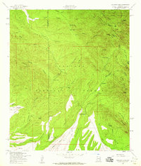
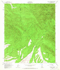
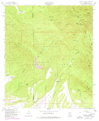
Other maps of this area

1904 · Patagonia
USGS Topo · 1:125,000

1905 · Patagonia
USGS Topo · 1:125,000

1905 · Nogales
USGS Topo · 1:125,000

1914 · Hereford
USGS Topo · 1:125,000

1915 · Benson
USGS Topo · 1:125,000

1922 · Sunnyside
USGS Topo · 1:62,500

1932 · Lochiel
USGS Topo · 1:62,500

1932 · Elgin
USGS Topo · 1:62,500

1938 · Huachuca
USGS Topo · 1:62,500

1938 · Sunnyside
USGS Topo · 1:62,500