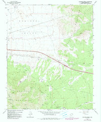
1968 Map of Hualapai Spring
USGS Topo · Published 1991About this map
The Hualapai Mountains and Peacock Mountains converge in this high-desert landscape, separated by the arid expanse of the Hualapai Valley. This 1968 survey reveals a territory defined by deep-seated mining interests and critical water sources. Numerous extraction sites are scattered across the slopes, including the Dean Mine, Century Mine, and Enterprise Mine. These industrial markers are joined by more utilitarian features of the era, such as an Airway Beacon and a network of pipelines that traverse the valley floor.
Find a feature on this map
24 named features on this map. Tap any name to fly to it.
Don’t see what you’re looking for? This feature index may not catch every label — zoom into the map to look around manually.
Map Details
Editions of this 1968 Hualapai Spring Map
3 editions found
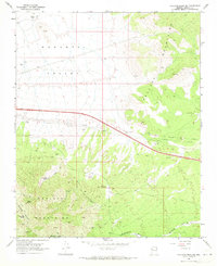
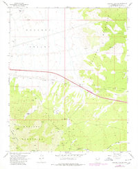
Other maps of this area

1886 · Diamond Creek
USGS Topo · 1:250,000

1892 · Diamond Creek
USGS Topo · 1:250,000

1948 · Williams
USGS Topo · 1:250,000

1954 · Williams
USGS Topo · 1:250,000

1956 · Williams
USGS Topo · 1:250,000

1960 · Williams
USGS Topo · 1:250,000

1961 · Williams
USGS Topo · 1:250,000
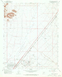
1968 · Kingman Airport
USGS Topo · 1:24,000
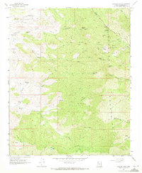
1968 · Hualapai Peak
USGS Topo · 1:24,000
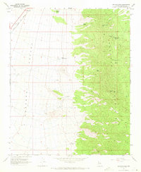
1968 · Peacock Peak
USGS Topo · 1:24,000