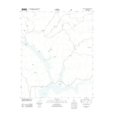
2012 Map of Huasna Peak
USGS Topo · Published 2012About this map
Twitchell Reservoir dominates the southern landscape of this region, where the Cuyama River and Alamo Cr converge at Vaquero Flat. The topography is defined by a series of steep drainages including Stephens Canyon, Haystack Canyon, and Tim O'Leary Canyon, which feed into the broader Huasna Valley. This area reflects a long-standing ranching tradition, evidenced by several family-named holdings such as Records Ranch, Porter Ranch, and Adams Ranch distributed across the rugged terrain.
Find a feature on this map
42 named features on this map. Tap any name to fly to it.
Don’t see what you’re looking for? This feature index may not catch every label — zoom into the map to look around manually.
Map Details
Editions of this 2012 Huasna Peak Map
This is the sole edition of this map. No revisions or reprints were ever made.
Other maps of this area

1905 · Lompoc
USGS Topo · 1:125,000

1922 · Nipomo
USGS Topo · 1:62,500

1937 · Branch Mtn
USGS Topo · 1:48,000

1942 · Lompoc
USGS Topo · 1:125,000

1942 · Santa Maria
USGS Topo · 1:62,500

1942 · Branch Mountain
USGS Topo · 1:62,500

1942 · Tepusquet Peak
USGS Topo · 1:62,500

1943 · Tepusquet Peak
USGS Topo · 1:62,500

1943 · Lompoc
USGS Topo · 1:125,000
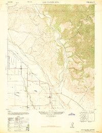
1947 · Los Coches Mtn
USGS Topo · 1:24,000