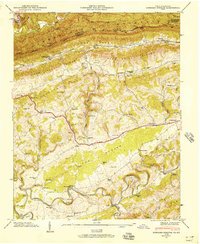
1946 Map of Hubbard Springs
USGS Topo · Published 1957About this map
Cumberland Mountain forms the dramatic northern boundary of this 1946 field study, where the Kentucky-Virginia state line follows the rugged crest. Below the heights, the Poor Valley and Poor Valley Ridge lead into the limestone terrain of The Cedars. The landscape is defined by the winding course of the Powell River, which carves deep meanders like Wilder Bend and Mile 126 Bend. This era shows a well-established rural network of family cemeteries and small community hubs, including Fleenortown and Hubbard Springs.
Find a feature on this map
67 named features on this map. Tap any name to fly to it.
Don’t see what you’re looking for? This feature index may not catch every label — zoom into the map to look around manually.
Map Details
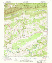
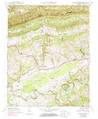
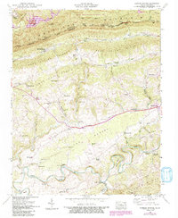
Editions of this 1946 Hubbard Springs Map
4 editions found
Other maps of this area

1887 · Jonesville
USGS Topo · 1:125,000

1891 · Jonesville
USGS Topo · 1:125,000

1903 · Harlan
USGS Topo · 1:48,000

1916 · Harlan
USGS Topo · 1:48,000

1916 · Nolansburg
USGS Topo · 1:48,000

1919 · Nolansburg
USGS Topo · 1:62,500

1919 · Harlan
USGS Topo · 1:62,500

1932 · Hagan
USGS Topo · 1:62,500

1935 · Kyles Ford
USGS Topo · 1:24,000

1935 · Hubbard Springs
USGS Topo · 1:24,000