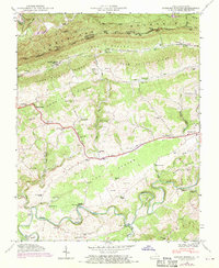
1946 Map of Hubbard Springs
USGS Topo · Published 1970About this map
Cumberland Mountain forms a formidable barrier along the Kentucky and Virginia border, defined here by the Wagonroad Tunnel and the narrow corridor of the Louisville and Nashville railroad. The landscape below the ridge is a complex of limestone geology and early transit routes, most notably the Boone Trail which winds eastward toward the settlement of Jonesville. This 1946 survey, updated with 1969 aerial photography, reveals a dense network of upland agriculture and family-named landmarks.
Find a feature on this map
68 named features on this map. Tap any name to fly to it.
Don’t see what you’re looking for? This feature index may not catch every label — zoom into the map to look around manually.
Map Details
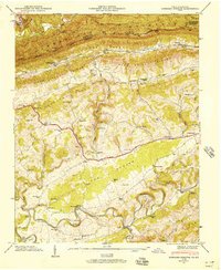
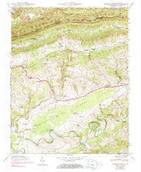
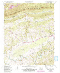
Editions of this 1946 Hubbard Springs Map
4 editions found
Other maps of this area

1887 · Jonesville
USGS Topo · 1:125,000

1891 · Jonesville
USGS Topo · 1:125,000

1903 · Harlan
USGS Topo · 1:48,000

1916 · Harlan
USGS Topo · 1:48,000

1916 · Nolansburg
USGS Topo · 1:48,000

1919 · Nolansburg
USGS Topo · 1:62,500

1919 · Harlan
USGS Topo · 1:62,500

1932 · Hagan
USGS Topo · 1:62,500

1935 · Kyles Ford
USGS Topo · 1:24,000

1935 · Hubbard Springs
USGS Topo · 1:24,000