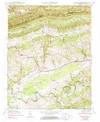
1946 Map of Hubbard Springs
USGS Topo · Published 1990About this map
Cumberland Mountain forms a dramatic northern wall for this portion of the Kentucky-Virginia border, where the steep terrain of the Poor Valley meets the winding Poor Valley Ridge. Settlement in this post-war landscape is defined by small, family-oriented clusters like Hubbard Springs and Ocoonita, which are linked by the Tennessee and Virginia rail line and local paths like the Wagonroad Tunnel. The southern portion of the map is dominated by the serpentine loops of the Powell River, including the distinctive Wilder Bend and Tyler Bend. Local life centers around numerous rural institutions, from Bethel Sch to the Jonesville Camp Ground. Genealogists will find a high density of family burial sites, such as the Flanary Cem, Woodward Cem, and Mc Clure Cem, scattered among the ridges and hollows.
Find a feature on this map
72 named features on this map. Tap any name to fly to it.
Don’t see what you’re looking for? This feature index may not catch every label — zoom into the map to look around manually.
Map Details
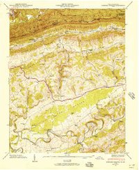
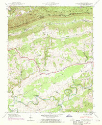
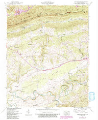
Editions of this 1946 Hubbard Springs Map
4 editions found
Other maps of this area

1887 · Jonesville
USGS Topo · 1:125,000

1891 · Jonesville
USGS Topo · 1:125,000

1903 · Harlan
USGS Topo · 1:48,000

1916 · Harlan
USGS Topo · 1:48,000

1916 · Nolansburg
USGS Topo · 1:48,000

1919 · Nolansburg
USGS Topo · 1:62,500

1919 · Harlan
USGS Topo · 1:62,500

1932 · Hagan
USGS Topo · 1:62,500

1935 · Kyles Ford
USGS Topo · 1:24,000

1935 · Hubbard Springs
USGS Topo · 1:24,000