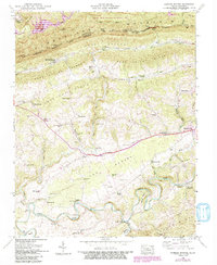
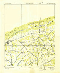
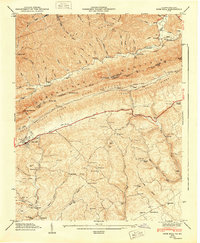
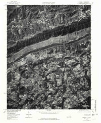
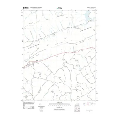
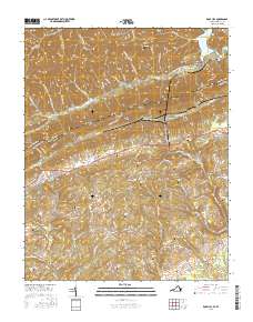
1946 Map of Hubbard Springs
USGS Topo · Published 1992About this map
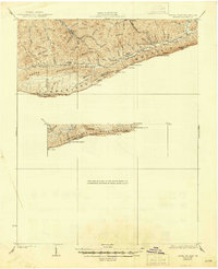
Cumberland Divide and the jagged ridgelines of Stone Mtn define this section of Lee County, where the 1946 landscape is marked by the historical path of the Boone Trail. The settlement of Hubbard Springs sits at the base of Poor Valley Ridge, while the Tennessee Valley rail line pierces the mountainside through the Wagonroad Tunnel. This terrain creates a series of isolated pockets of community, each anchored by small institutions like Bethel Sch, Russell Chapel, and Low Gap Sch.
Find a feature on this map
77 named features on this map. Tap any name to fly to it.
Don’t see what you’re looking for? This feature index may not catch every label — zoom into the map to look around manually.
Map Details
Editions of this 1946 Hubbard Springs Map
4 editions found
Historical Maps of Jonesville Through Time
35 maps found
1932 Hagan
Lee County, VA
1935 Ben Hur
Lee County, VA
1935 Hubbard Springs
Lee County, VA
1935 Olinger
Lee County, VA
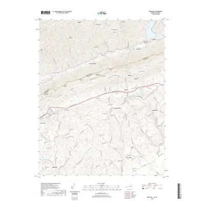
1935 Rose Hill
Lee County, VA
1946 Hubbard Springs
Lee County, VA
1946 Rose Hill
Lee County, VA
1947 Ben Hur
Lee County, VA
1947 Hubbard Springs
Lee County, VA
1948 Rose Hill
Lee County, VA
1949 Ben Hur
Lee County, VA
1976 Ben Hur
Lee County, VA
1976 Hubbard Springs
Lee County, VA
1976 Rose Hill
Lee County, VA

1976 Wheeler
Lee County, VA
2010 Ben Hur
Lee County, VA
2010 Wheeler
Lee County, VA
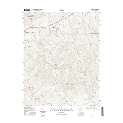
2011 Hubbard Springs
Lee County, VA
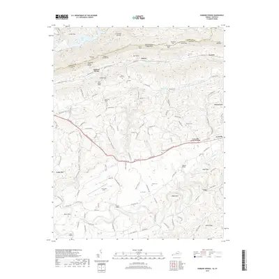
2011 Rose Hill
Lee County, VA

2013 Ben Hur
Lee County, VA
2013 Hubbard Springs
Lee County, VA
2013 Rose Hill
Lee County, VA
2013 Wheeler
Lee County, VA

2016 Ben Hur
Lee County, VA

2016 Hubbard Springs
Lee County, VA
2016 Rose Hill
Lee County, VA
2016 Wheeler
Lee County, VA

2019 Ben Hur
Lee County, VA
2019 Hubbard Springs
Lee County, VA
2019 Rose Hill
Lee County, VA

2019 Wheeler
Lee County, VA
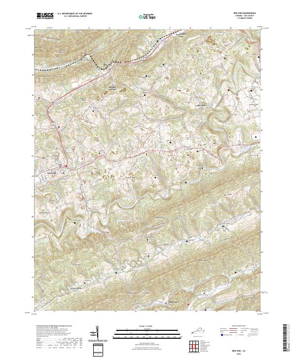
2022 Ben Hur
Lee County, VA
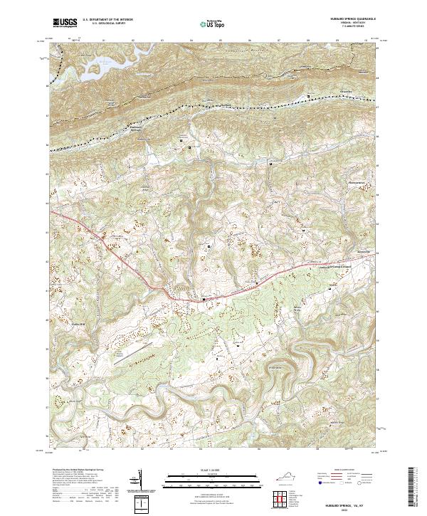
2022 Hubbard Springs
Lee County, VA
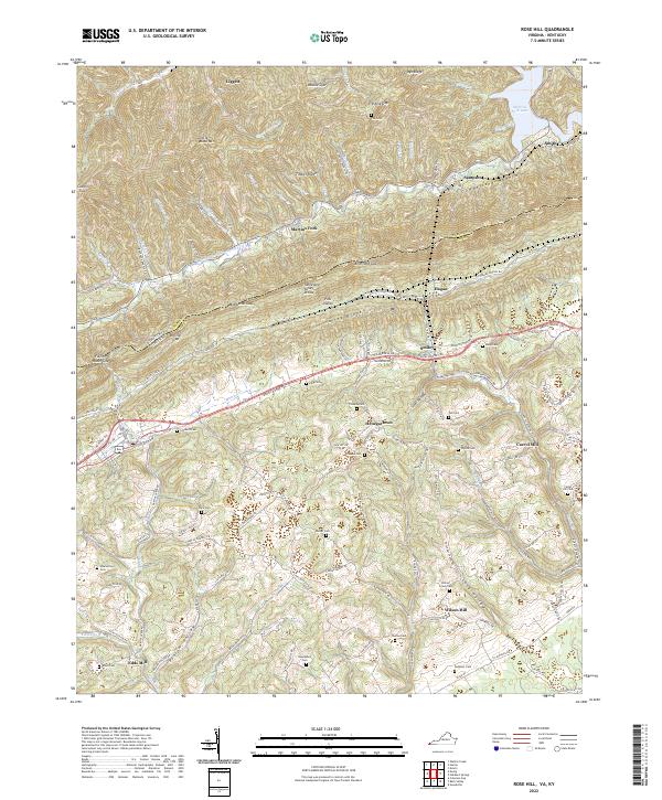
2022 Rose Hill
Lee County, VA
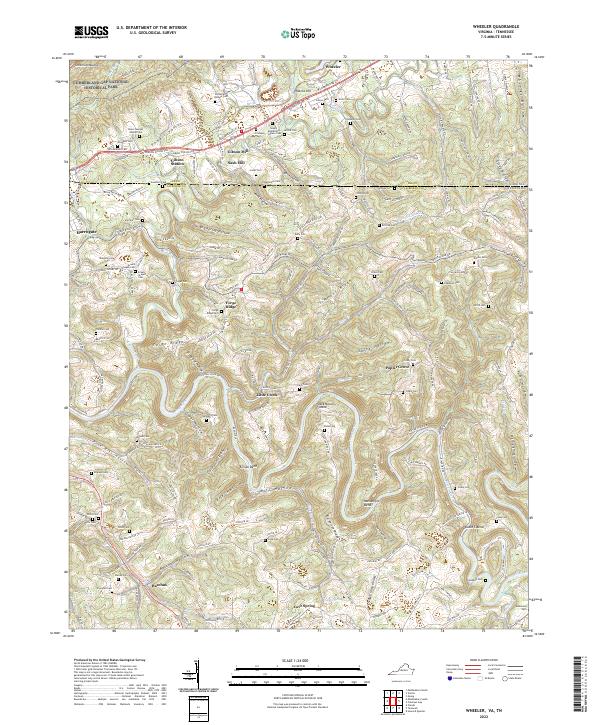
2022 Wheeler
Lee County, VA