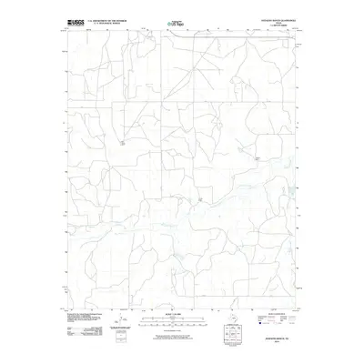
2010 Map of Hudgens Ranch
USGS Topo · Published 2010About this map
McClellan Creek meanders across this Gray County landscape, defining the drainage patterns for a region primarily characterized by large-scale ranching operations. The map documents the enduring footprint of established Texas Panhandle holdings, including the Dial-Dickey Ranch, Hudgens Ranch, and Pursley Ranch. These named properties serve as central hubs for a network of rural routes, such as 22 RD and V RD, which follow the section lines of the high plains. Water resources like Red Mud Creek and Peterson Creek are vital markers in this open country, where the intersection at Gray Y indicates a rare named junction in an otherwise sparsely populated area. The layout of roads and ranch sites illustrates the continued reliance on traditional land divisions and cattle-driven geography in the early 21st century.
Find a feature on this map
14 named features on this map. Tap any name to fly to it.
Don’t see what you’re looking for? This feature index may not catch every label — zoom into the map to look around manually.
Map Details
Editions of this 2010 Hudgens Ranch Map
This is the sole edition of this map. No revisions or reprints were ever made.
Other maps of this area

1954 · Amarillo
USGS Topo · 1:250,000

1958 · Amarillo
USGS Topo · 1:250,000

1962 · Hudgens Ranch
USGS Topo · 1:24,000

1962 · Back
USGS Topo · 1:24,000

1962 · Pond Creek
USGS Topo · 1:24,000

1962 · Pond Creek NW
USGS Topo · 1:24,000

1963 · Alanreed
USGS Topo · 1:24,000

1963 · McLean
USGS Topo · 1:24,000

1964 · Rockledge
USGS Topo · 1:24,000

1967 · Lefors
USGS Topo · 1:24,000