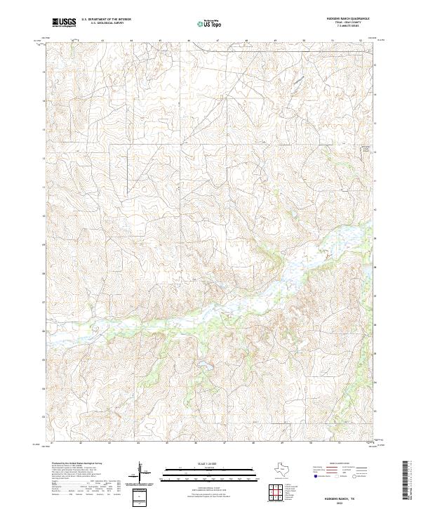
2022 Map of Hudgens Ranch
USGS Topo · Published 2022About this map
McClellan Cr dominates the central landscape of this Gray County region, creating a wide drainage basin where numerous seasonal tributaries converge. The topography is defined by the sharp incisions of Stage Hollow and the meandering paths of Peterson Cr and Red Mud Cr as they feed into the primary creek system. These watercourses have shaped the Texas Panhandle terrain, carving out the elevations that define local property lines and ranching boundaries.
Find a feature on this map
14 named features on this map. Tap any name to fly to it.
Don’t see what you’re looking for? This feature index may not catch every label — zoom into the map to look around manually.
Map Details
Editions of this 2022 Hudgens Ranch Map
This is the sole edition of this map. No revisions or reprints were ever made.
Other maps of this area

1954 · Amarillo
USGS Topo · 1:250,000

1958 · Amarillo
USGS Topo · 1:250,000

1962 · Hudgens Ranch
USGS Topo · 1:24,000

1962 · Back
USGS Topo · 1:24,000

1962 · Pond Creek
USGS Topo · 1:24,000

1962 · Pond Creek NW
USGS Topo · 1:24,000

1963 · Alanreed
USGS Topo · 1:24,000

1963 · McLean
USGS Topo · 1:24,000

1964 · Rockledge
USGS Topo · 1:24,000

1967 · Lefors
USGS Topo · 1:24,000