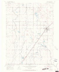
1949 Map of Hudson
USGS Topo · Published 1967About this map
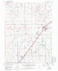
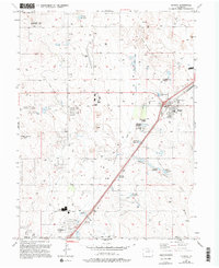
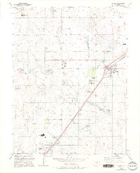
The agricultural landscape of Weld County and Adams County centers on the town of Hudson and the small settlement of Tonville just before the mid-century. This 1949 survey reveals a sophisticated water management network vital to the High Plains, dominated by the Burlington Extension Ditch, Speer Canal, and Hudson Canal. The terrain transitions from the rolling topography of The Sand Hills to the distinct elevations of Riley Mound and Smith Mound. Local history and genealogy are anchored by landmarks like Mountain View Cem and a dense cluster of irrigation features including Henry Lake Reservoir and Ireland Reservoir No 6. The map illustrates a rural economy built on canal-fed agriculture and gravel extraction, with the Quincy and Burlington Road serving as a primary transportation artery.
Find a feature on this map
28 named features on this map. Tap any name to fly to it.
Don’t see what you’re looking for? This feature index may not catch every label — zoom into the map to look around manually.
Map Details
Editions of this 1949 Hudson Map
8 editions found
Other maps of this area

1890 · East Denver
USGS Topo · 1:125,000

1902 · Greeley
USGS Topo · 1:125,000

1940 · Brighton
USGS Topo · 1:31,680

1942 · Mile High Lakes
USGS Topo · 1:31,680

1944 · Brighton
USGS Topo · 1:31,680

1949 · Fort Lupton
USGS Topo · 1:24,000

1949 · Platteville
USGS Topo · 1:24,000

1949 · Hudson
USGS Topo · 1:24,000

1950 · Platteville
USGS Topo · 1:24,000
1950 · Fort Lupton
USGS Topo · 1:24,000