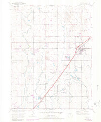
1949 Map of Hudson
USGS Topo · Published 1972About this map
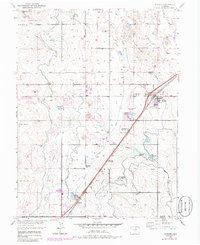
Agricultural development and water management define this landscape on the high plains of the Missouri River Basin. The town of Hudson serves as the central hub, situated along the Burlington Northern railroad. The map reveals an intricate network of irrigation infrastructure essential for the region's productivity, including the Beebe Canal, Hudson Canal, and Burlington Extension Ditch. Numerous storage sites such as Ireland Reservoir No 6 and Henry Lake Reservoir are scattered across the terrain, reflecting the engineering required to sustain local farming. To the south, the settlements of Tonville and Lochbuie appear near the county line, while the northern reaches are dominated by The Sand Hills. Prominent local landmarks like Riley Mound and Smith Mound provide vertical relief in an otherwise systematically gridded landscape of section lines and secondary roads.
Find a feature on this map
36 named features on this map. Tap any name to fly to it.
Don’t see what you’re looking for? This feature index may not catch every label — zoom into the map to look around manually.
Map Details
Editions of this 1949 Hudson Map
8 editions found
Other maps of this area

1890 · East Denver
USGS Topo · 1:125,000

1902 · Greeley
USGS Topo · 1:125,000

1940 · Brighton
USGS Topo · 1:31,680

1942 · Mile High Lakes
USGS Topo · 1:31,680

1944 · Brighton
USGS Topo · 1:31,680

1949 · Fort Lupton
USGS Topo · 1:24,000

1949 · Platteville
USGS Topo · 1:24,000

1949 · Hudson
USGS Topo · 1:24,000

1950 · Platteville
USGS Topo · 1:24,000
1950 · Fort Lupton
USGS Topo · 1:24,000